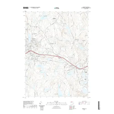
2021 Map of Gardner
USGS Topo · Published 2021About this map
Gardner and the surrounding Worcester County highlands are defined by a complex network of reservoirs and glacial hills. The urban core of Gardner is flanked by historical burying grounds including the Old Burying Ground Cem and Crystal Lake Cem, while the B & M RR corridor provides a glimpse into the industrial transport patterns of the region. To the east, the landscape transitions toward Westminster and smaller settlements like Whitmanville and Bakers Grove. The elevation is marked by prominent features such as Mount Wachusett Community College and the landmark Church Rock near the Mare Meadow Reservoir. Significant water bodies like Lake Wampanoag, Crystal Lake, and Meetinghouse Pond dominate the hydrology, reflecting the area's history of water management and recreation. The Midstate Trl and North Central Pathway Trl offer contemporary glimpses into the geographic layout once tied to the local river-and-rail economy.
Find a feature on this map
209 named features on this map. Tap any name to fly to it.
Don’t see what you’re looking for? This feature index may not catch every label — zoom into the map to look around manually.
Map Details
Editions of this 2021 Gardner Map
This is the sole edition of this map. No revisions or reprints were ever made.
Other maps of this area

1885 · Worcester
USGS Topo · 1:62,500

1886 · Worcester
USGS Topo · 1:62,500

1887 · Winchendon
USGS Topo · 1:62,500

1887 · Barre
USGS Topo · 1:62,500

1887 · Fitchburg
USGS Topo · 1:62,500

1889 · Fitchburg
USGS Topo · 1:62,500

1889 · Barre
USGS Topo · 1:62,500

1890 · Winchendon
USGS Topo · 1:62,500

1892 · Worcester
USGS Topo · 1:62,500

1893 · Fitchburg
USGS Topo · 1:62,500