2024 Map of Gardner
USGS Topo · Published 2024About this map
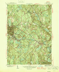
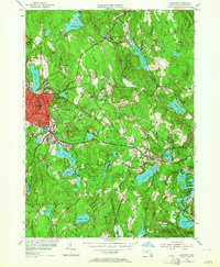
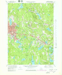
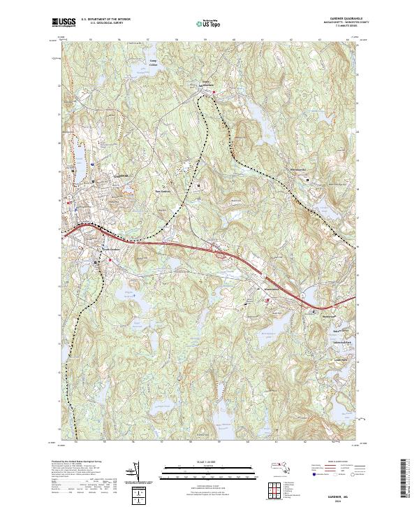
Industrial hubs and small residential clusters define the landscape of Central Massachusetts in this 2024 survey. The city of Gardner serves as the primary anchor, flanked by distinct neighborhoods such as East Gardner and South Gardner. This region is characterized by an extensive network of water bodies that historically powered local industry, including Wrights Reservoir, Crystal Lake, and the winding Whitman River. These reservoirs and ponds are interspersed among several prominent hills like Baldwin Hill and Bean Porridge Hill, creating a varied topography that has shaped the growth of towns like Westminster and South Ashburnham.
Find a feature on this map
226 named features on this map. Tap any name to fly to it.
Don’t see what you’re looking for? This feature index may not catch every label — zoom into the map to look around manually.
Map Details
Editions of this 2024 Gardner Map
This is the sole edition of this map. No revisions or reprints were ever made.
Historical Maps of East Gardner Through Time
5 maps found