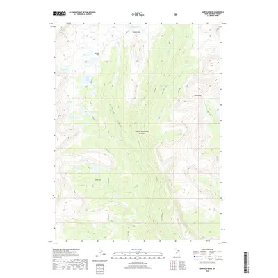
2020 Map of Garfield Basin
USGS Topo · Published 2020About this map
Garfield Basin lies at the heart of this high-altitude landscape within the Ashley National Forest. The map documents a complex drainage system where Garfield Creek and Yellowstone Creek descend through glaciated terrain. Significant mountain crossings like Tungsten Pass and Bluebell Pass connect various basins and meadows, including the broad opening at Center Park. The distribution of water is a defining characteristic, from the cluster of Swasey Lakes near Swasey Hole to the isolated waters of Little Superior Lake and Doll Lake. This 2020 record of the High Uintas provides a precise view of the natural hydrology and topographical landmarks that define this wilderness area, including named landmarks like Jackson Park and the headwaters of Milk Creek.
Find a feature on this map
22 named features on this map. Tap any name to fly to it.
Don’t see what you’re looking for? This feature index may not catch every label — zoom into the map to look around manually.
Map Details
Editions of this 2020 Garfield Basin Map
This is the sole edition of this map. No revisions or reprints were ever made.
Other maps of this area
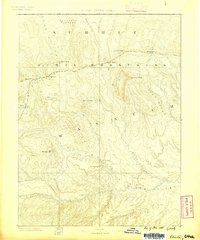
1885 · Uinta
USGS Topo · 1:250,000
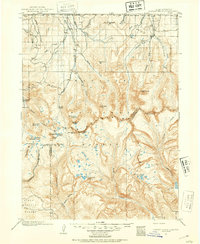
1901 · Hayden Peak
USGS Topo · 1:125,000
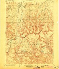
1903 · Hayden Peak
USGS Topo · 1:125,000
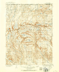
1905 · Gilbert Peak
USGS Topo · 1:125,000
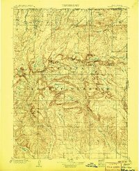
1906 · Gilbert Peak
USGS Topo · 1:125,000
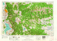
1954 · Salt Lake City
USGS Topo · 1:250,000
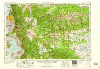
1958 · Salt Lake City
USGS Topo · 1:250,000
1960 · Salt Lake City
USGS Topo · 1:250,000
1965 · Mount Emmons
USGS Topo · 1:24,000
1965 · Kings Peak
USGS Topo · 1:24,000