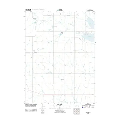
2011 Map of Garland
USGS Topo · Published 2011About this map
The village of Garland serves as the primary hub in this portion of Seward County, characterized by a grid of rural section roads and a network of small reservoirs. The area's history is preserved in its scattered burial grounds, including the Germantown Cemetery, which reflects the community's earlier identity, alongside the Garland South Cemetery, Trinity Cemetery, and Mount Carmel Cemetery. These sites provide vital touchstones for genealogical research in this agricultural landscape.
Find a feature on this map
34 named features on this map. Tap any name to fly to it.
Don’t see what you’re looking for? This feature index may not catch every label — zoom into the map to look around manually.
Map Details
Editions of this 2011 Garland Map
This is the sole edition of this map. No revisions or reprints were ever made.
Other maps of this area

1897 · Lincoln
USGS Topo · 1:125,000

1899 · Wahoo
USGS Topo · 1:125,000

1899 · David City
USGS Topo · 1:125,000

1934 · Seward
USGS Topo · 1:48,000

1939 · Seward
USGS Topo · 1:62,500

1955 · Fremont
USGS Topo · 1:250,000

1955 · Lincoln
USGS Topo · 1:250,000

1957 · Fremont
USGS Topo · 1:250,000

1957 · Lincoln
USGS Topo · 1:250,000

1958 · Fremont
USGS Topo · 1:250,000