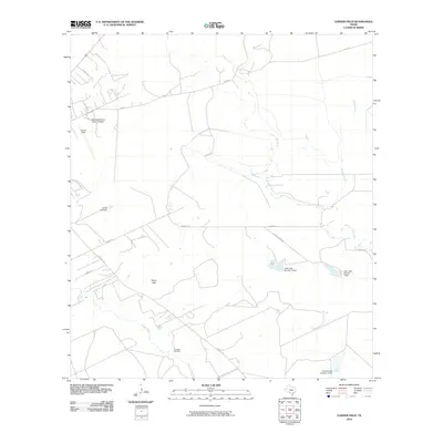
2010 Map of Garner Field
USGS Topo · Published 2010About this map
Garner Field and the campus of Southwest Texas Junior College anchor the northwestern portion of this South Texas landscape, reflecting the modern institutional development of the Uvalde area. The terrain is defined by the winding course of the Frio River and Salt Creek to the north, while the Leona River cuts across the southwestern corner. This area serves as a critical hydrological intersection, marked by numerous small-scale reservoirs and water management structures like Carter Lake Dam, V-Bar Lake Number 2 Dam, and the evocatively named Toadstool Waterhole.
Find a feature on this map
25 named features on this map. Tap any name to fly to it.
Don’t see what you’re looking for? This feature index may not catch every label — zoom into the map to look around manually.
Map Details
Editions of this 2010 Garner Field Map
This is the sole edition of this map. No revisions or reprints were ever made.
Other maps of this area

1898 · Uvalde
USGS Topo · 1:125,000

1899 · Uvalde
USGS Topo · 1:125,000

1954 · San Antonio
USGS Topo · 1:250,000

1957 · San Antonio
USGS Topo · 1:250,000

1960 · Pulliam Ranch
USGS Topo · 1:24,000
1971 · Sevenmile Hill
USGS Topo · 1:24,000
1971 · Garner Field NE
USGS Topo · 1:24,000
1971 · Garner Field
USGS Topo · 1:24,000
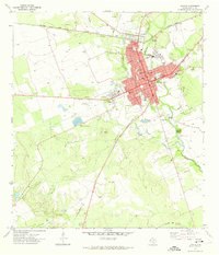
1971 · Uvalde
USGS Topo · 1:24,000
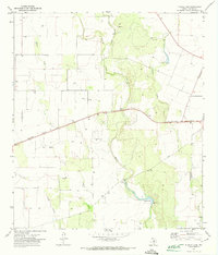
1971 · Blanco Lake
USGS Topo · 1:24,000