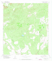
1971 Map of Sevenmile Hill
USGS Topo · Published 1973About this map
Sevenmile Hill and the surrounding brushy draws of Uvalde County define this South Texas landscape in the early 1970s. The terrain is a complex network of intermittent drainages, including Cooks Slough and Indian Creek, which converge toward the Leona River in the east. A notable remnant of earlier transportation infrastructure is the Old Railroad Grade cutting diagonally through the western portion of the map, providing a tangible line for historians to trace old rail corridors.
Find a feature on this map
11 named features on this map. Tap any name to fly to it.
Don’t see what you’re looking for? This feature index may not catch every label — zoom into the map to look around manually.
Map Details
Editions of this 1971 Sevenmile Hill Map
This is the sole edition of this map. No revisions or reprints were ever made.
Other maps of this area

1898 · Uvalde
USGS Topo · 1:125,000

1899 · Uvalde
USGS Topo · 1:125,000

1954 · San Antonio
USGS Topo · 1:250,000

1957 · San Antonio
USGS Topo · 1:250,000

1960 · Concan
USGS Topo · 1:24,000
1960 · Hacienda
USGS Topo · 1:24,000
1960 · Chalk Bluff
USGS Topo · 1:24,000
1971 · Sycamore Mountain
USGS Topo · 1:24,000
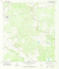
1971 · Garner Field
USGS Topo · 1:24,000
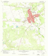
1971 · Uvalde
USGS Topo · 1:24,000