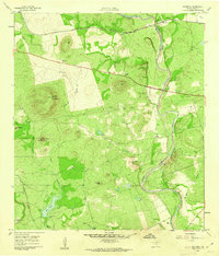
1960 Map of Hacienda
USGS Topo · Published 1962About this map
The Nueces River winds through this landscape of the Texas Hill Country, defining a region where ranching and rail transport were central to the local economy. In the northern reaches, the small settlement of Hacienda sits along the corridor of the Texas and New Orleans (Southern Pacific) railroad, which runs parallel to Route 90. The map documents a significant network of family-held lands, including Rosenow Ranch, Ingram Ranch, and Allen Ranch, each marking the distribution of homesteads across the varied terrain. To the south, specialized land use is evident at the Fish Hatchery near Little Big Tank. The topography is characterized by prominent elevations such as Cantrell Mountain, Sulphur Mtn, and Nueces Hill, which overlook drainage features like Wood Slough and Mustang Creek.
Find a feature on this map
24 named features on this map. Tap any name to fly to it.
Don’t see what you’re looking for? This feature index may not catch every label — zoom into the map to look around manually.
Map Details
Editions of this 1960 Hacienda Map
2 editions found
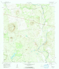
Other maps of this area

1896 · Brackett
USGS Topo · 1:125,000

1897 · Brackett
USGS Topo · 1:125,000

1898 · Uvalde
USGS Topo · 1:125,000

1899 · Uvalde
USGS Topo · 1:125,000

1938 · Turkey Mountain
USGS Topo · 1:48,000

1943 · Turkey Mountain
USGS Topo · 1:62,500

1949 · Cline
USGS Topo · 1:62,500

1954 · San Antonio
USGS Topo · 1:250,000

1957 · San Antonio
USGS Topo · 1:250,000

1958 · Del Rio
USGS Topo · 1:250,000