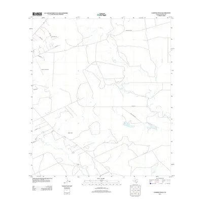
2013 Map of Garner Field
USGS Topo · Published 2013About this map
Garner Field Airport serves as a prominent landmark in this landscape where the Leona River and Frio River converge. The topography is defined by the Taylor Hills and the isolated rise of Beaver Knl, which overlook a network of water features including Leona Springs and uniquely named pools such as Cypress Waterhole and Toadstool Waterhole.
Find a feature on this map
27 named features on this map. Tap any name to fly to it.
Don’t see what you’re looking for? This feature index may not catch every label — zoom into the map to look around manually.
Map Details
Editions of this 2013 Garner Field Map
This is the sole edition of this map. No revisions or reprints were ever made.
Other maps of this area
1898 · Uvalde
USGS Topo · 1:125,000
1899 · Uvalde
USGS Topo · 1:125,000
1954 · San Antonio
USGS Topo · 1:250,000
1957 · San Antonio
USGS Topo · 1:250,000
1960 · Pulliam Ranch
USGS Topo · 1:24,000
1971 · Sevenmile Hill
USGS Topo · 1:24,000
1971 · Garner Field NE
USGS Topo · 1:24,000
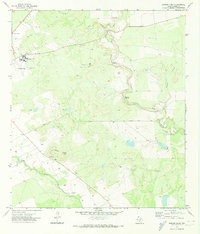
1971 · Garner Field
USGS Topo · 1:24,000
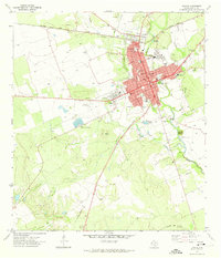
1971 · Uvalde
USGS Topo · 1:24,000
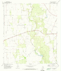
1971 · Blanco Lake
USGS Topo · 1:24,000