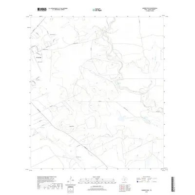
2019 Map of Garner Field
USGS Topo · Published 2019About this map
Leona Springs and the winding Leona River anchor the southern reach of this landscape, just southeast of the city of Uvalde. The terrain is defined by low-lying water features and subtle elevations like the Taylor Hills and the limestone-carved beds of the Frio River. Notable for its ranching and aviation history, the area contains Garner Field, which served as a primary flight training base during World War II. For researchers, the presence of The Ditch Cem near the riverbanks provides a specific point of interest for genealogical study. The map also identifies distinctive local landmarks such as Cypress Waterhole and Toadstool Waterhole, reflecting the importance of reliable water sources in this semi-arid Texas brush country environment.
Find a feature on this map
37 named features on this map. Tap any name to fly to it.
Don’t see what you’re looking for? This feature index may not catch every label — zoom into the map to look around manually.
Map Details
Editions of this 2019 Garner Field Map
This is the sole edition of this map. No revisions or reprints were ever made.
Other maps of this area
1898 · Uvalde
USGS Topo · 1:125,000
1899 · Uvalde
USGS Topo · 1:125,000
1954 · San Antonio
USGS Topo · 1:250,000
1957 · San Antonio
USGS Topo · 1:250,000
1960 · Pulliam Ranch
USGS Topo · 1:24,000
1971 · Sevenmile Hill
USGS Topo · 1:24,000
1971 · Garner Field NE
USGS Topo · 1:24,000
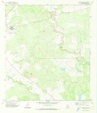
1971 · Garner Field
USGS Topo · 1:24,000
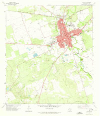
1971 · Uvalde
USGS Topo · 1:24,000
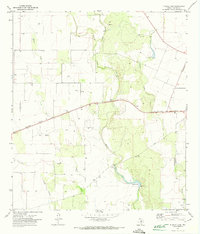
1971 · Blanco Lake
USGS Topo · 1:24,000