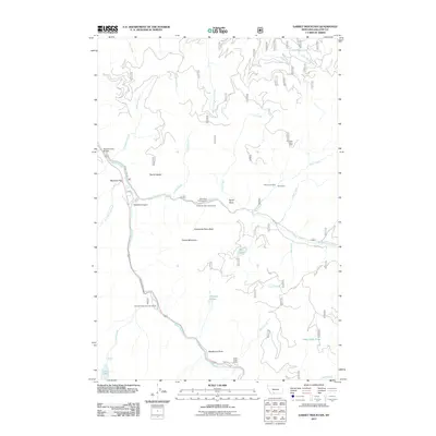
2011 Map of Garnet Mountain
USGS Topo · Published 2011About this map
The Gallatin River carves a deep path through this Montana landscape, anchoring a corridor of seasonal settlements and rugged peaks. In the early 21st century, residential pockets like Cascade Creek Summer Homes and the Greek Creek Camp reflect the area's transition toward recreation, while the presence of the Thumper Mica Mine and Mica Creek Mine point to an earlier reliance on mineral extraction in the high country.
Find a feature on this map
40 named features on this map. Tap any name to fly to it.
Don’t see what you’re looking for? This feature index may not catch every label — zoom into the map to look around manually.
Map Details
Editions of this 2011 Garnet Mountain Map
This is the sole edition of this map. No revisions or reprints were ever made.
Other maps of this area

1888 · Three Forks
USGS Topo · 1:250,000

1894 · Three Forks
USGS Topo · 1:250,000

1895 · Three Forks
USGS Topo · 1:250,000

1947 · Bozeman
USGS Topo · 1:250,000

1948 · Bozeman
USGS Topo · 1:250,000

1949 · Anceney
USGS Topo · 1:62,500

1950 · Spanish Peaks
USGS Topo · 1:62,500

1953 · Bozeman
USGS Topo · 1:62,500

1955 · Bozeman
USGS Topo · 1:250,000

1955 · Garnet Mountain
USGS Topo · 1:62,500