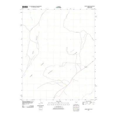
2011 Map of Garnet Ridge
USGS Topo · Published 2011About this map
Garnet Ridge and Comb Ridge dominate this corner of Apache County, where the topography is defined by the massive monoclines of the Colorado Plateau. The landscape is carved by seasonal drainages including Cane Valley Wash and Hosteen Tso Wash, which feed into Laguna Creek at the southern edge of the survey. Unlike more developed areas, this territory remains largely open, with transportation corridors limited to routes like Indian Rte 6440. The presence of the Round Top Mesa Campground near the intersection of the primary roadway indicates the area's role as a point of access for those navigating the wide expanse of Cane Valley. The map detail captures the remote character of the Navajo Nation's geography in the early twenty-first century.
Find a feature on this map
9 named features on this map. Tap any name to fly to it.
Don’t see what you’re looking for? This feature index may not catch every label — zoom into the map to look around manually.
Map Details
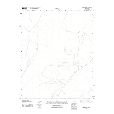
Editions of this 2011 Garnet Ridge Map
2 editions found
Other maps of this area

1886 · Abajo
USGS Topo · 1:250,000

1892 · Abajo
USGS Topo · 1:250,000

1892 · Canyon De Chelly
USGS Topo · 1:250,000

1893 · Abajo
USGS Topo · 1:250,000

1952 · Bluff 3 SE
USGS Topo · 1:24,000

1952 · Dinnehotso
USGS Topo · 1:62,500
1952 · Bluff 3 SW
USGS Topo · 1:24,000

1952 · Setsiltso Springs 2 NW
USGS Topo · 1:24,000

1952 · Setsiltso Springs 2 SW
USGS Topo · 1:24,000

1952 · Setsiltso Springs 2 SE
USGS Topo · 1:24,000