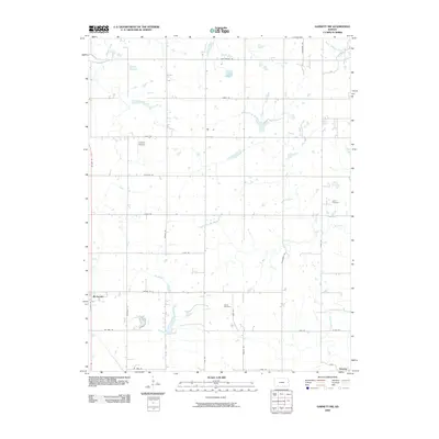
2009 Map of Garnett NW
USGS Topo · Published 2009About this map
Richmond and Greeley anchor the southern edges of this agricultural landscape in eastern Kansas, where the prairie is defined by a dendritic network of creek branches. The topography is shaped by the winding course of Pottawatomie Creek in the southeast and the various tributaries of the Sac Branch. Family and local history are preserved at sites like Berea Cemetery and Baker Cemetery, while the presence of Cochran Airport north of Richmond reflects the integration of modern transportation into the traditional section-line road grid. The map's extensive naming of rural roads, including John Brown Rd and Tennessee Rd, provides a clear view of the county's early 21st-century infrastructure. This survey illustrates how the landscape remains divided into large agricultural tracts, intersected by seasonal watercourses such as Dry Branch and West Branch Mosquito Creek.
Find a feature on this map
33 named features on this map. Tap any name to fly to it.
Don’t see what you’re looking for? This feature index may not catch every label — zoom into the map to look around manually.
Map Details
Editions of this 2009 Garnett NW Map
This is the sole edition of this map. No revisions or reprints were ever made.
Other maps of this area

1885 · Garnett
USGS Topo · 1:125,000

1885 · Lawrence
USGS Topo · 1:125,000

1889 · Lawrence
USGS Topo · 1:125,000

1894 · Garnett
USGS Topo · 1:125,000

1947 · Lawrence
USGS Topo · 1:250,000

1950 · Lawrence
USGS Topo · 1:250,000

1956 · Ottawa South
USGS Topo · 1:24,000

1956 · Lawrence
USGS Topo · 1:250,000

1961 · Lawrence
USGS Topo · 1:250,000
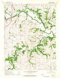
1962 · Peoria
USGS Topo · 1:24,000