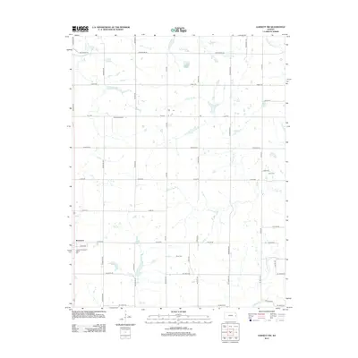
2012 Map of Garnett NW
USGS Topo · Published 2012About this map
Richmond serves as the primary hub in this portion of Franklin County, positioned near the southwest corner of this 2012 survey. The surrounding rural landscape is defined by a complex drainage system, including Middle Cr to the north and the winding course of Pottawatomie Cr to the southeast. Water management and recreation are evident at Richmond Lake and Gilkey Lake, while the V and P Recreational Vehicle Park indicates modern land use adjacent to the town.
Find a feature on this map
44 named features on this map. Tap any name to fly to it.
Don’t see what you’re looking for? This feature index may not catch every label — zoom into the map to look around manually.
Map Details
Editions of this 2012 Garnett NW Map
This is the sole edition of this map. No revisions or reprints were ever made.
Other maps of this area

1885 · Garnett
USGS Topo · 1:125,000

1885 · Lawrence
USGS Topo · 1:125,000

1889 · Lawrence
USGS Topo · 1:125,000

1894 · Garnett
USGS Topo · 1:125,000

1947 · Lawrence
USGS Topo · 1:250,000

1950 · Lawrence
USGS Topo · 1:250,000

1956 · Ottawa South
USGS Topo · 1:24,000

1956 · Lawrence
USGS Topo · 1:250,000

1961 · Lawrence
USGS Topo · 1:250,000
1962 · Peoria
USGS Topo · 1:24,000