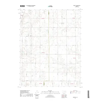
2018 Map of Garnett SE
USGS Topo · Published 2018About this map
Greeley anchors the northwestern corner of this landscape, situated near the boundary where Anderson County and Linn County meet. The terrain is defined by a dense network of sectional roads and the winding paths of several drainage systems, most notably Landers Cr and Middle Cr. These creeks carve through the prairie, creating the subtle elevation changes that characterize this portion of eastern Kansas. Historical points of interest include the Wait Cem and the small settlement of Sutton Valley, which provide specific touchpoints for local genealogists and researchers tracking early family homesteads. The map illustrates a mature rural infrastructure, where longstanding thoroughfares like NE Waubunsee Rd and NE Wyandotte Rd follow the original land survey lines, preserving the geometric pattern of 19th-century settlement into the modern era.
Find a feature on this map
50 named features on this map. Tap any name to fly to it.
Don’t see what you’re looking for? This feature index may not catch every label — zoom into the map to look around manually.
Map Details
Editions of this 2018 Garnett SE Map
This is the sole edition of this map. No revisions or reprints were ever made.
Other maps of this area
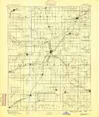
1885 · Garnett
USGS Topo · 1:125,000
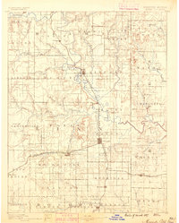
1887 · Mound City
USGS Topo · 1:125,000
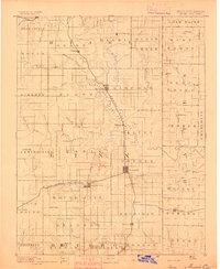
1893 · Mound City
USGS Topo · 1:125,000
1894 · Garnett
USGS Topo · 1:125,000
1947 · Lawrence
USGS Topo · 1:250,000
1950 · Lawrence
USGS Topo · 1:250,000
1956 · Lawrence
USGS Topo · 1:250,000
1961 · Lawrence
USGS Topo · 1:250,000
1963 · Parker
USGS Topo · 1:24,000
1963 · Osawatomie
USGS Topo · 1:24,000