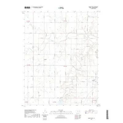
2018 Map of Garnett West
USGS Topo · Published 2018About this map
Garnett anchors the southeastern corner of this Anderson County landscape, where the town's residential grid transitions into a network of section-line roads and winding waterways. The western outskirts of the city are defined by the Prairie Spirit Rail Trail, which traces the former path of the railroad through a landscape drained by Cedar Creek and Pottawatomie Cr. The rural character of the region is evident in the numerous family and community landmarks, including the Glenlock settlement and a series of burial grounds that reflect the area's diverse heritage. Researchers can find the Amish Cem and West Scipio Cem in the northern and southern reaches, while the central hills are marked by the Pleasantview Cem and Baptist Cem. This survey illustrates the persistent agricultural and cemetery patterns of eastern Kansas, showing how modern corridors like the rail trail follow the established routes of earlier transportation systems.
Find a feature on this map
43 named features on this map. Tap any name to fly to it.
Don’t see what you’re looking for? This feature index may not catch every label — zoom into the map to look around manually.
Map Details
Editions of this 2018 Garnett West Map
This is the sole edition of this map. No revisions or reprints were ever made.
Other maps of this area
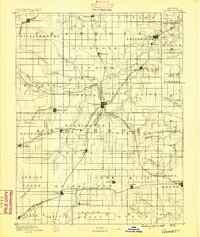
1885 · Garnett
USGS Topo · 1:125,000
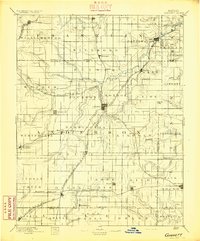
1894 · Garnett
USGS Topo · 1:125,000
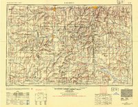
1947 · Lawrence
USGS Topo · 1:250,000
1950 · Lawrence
USGS Topo · 1:250,000
1956 · Williamsburg
USGS Topo · 1:24,000
1956 · Lawrence
USGS Topo · 1:250,000
1961 · Lawrence
USGS Topo · 1:250,000
1965 · Richmond
USGS Topo · 1:24,000
1966 · Bush City
USGS Topo · 1:24,000
1966 · Westphalia
USGS Topo · 1:24,000