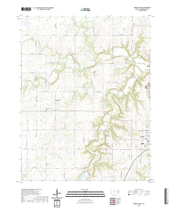
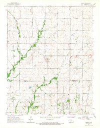
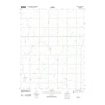
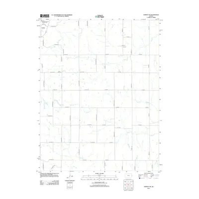
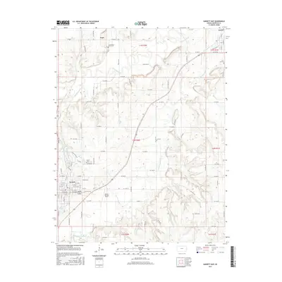
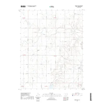
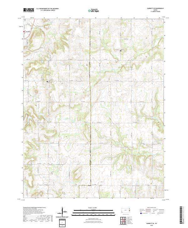
2022 Map of Garnett West
USGS Topo · Published 2022About this map
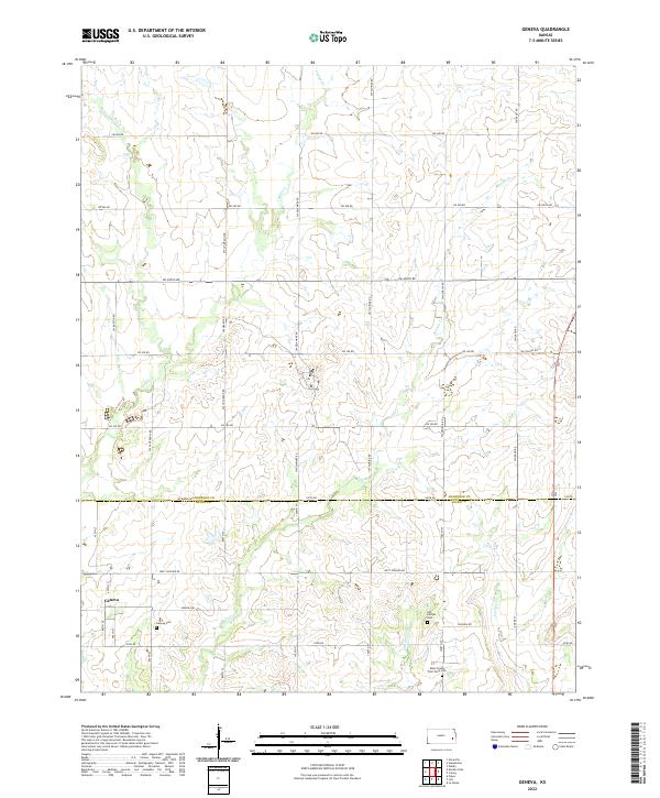
Pottawatomie Cr and its various tributaries, including Iantha Cr and Fish Cr, carve through this section of Anderson County, defining the drainage patterns of the eastern Kansas prairie. The map documents a landscape transitioning from the grid-aligned agricultural homesteads near Glenlock to the larger waters of the Cedar Valley Reservoir in the south.
Find a feature on this map
61 named features on this map. Tap any name to fly to it.
Don’t see what you’re looking for? This feature index may not catch every label — zoom into the map to look around manually.
Map Details
Editions of this 2022 Garnett West Map
This is the sole edition of this map. No revisions or reprints were ever made.
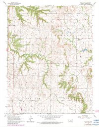
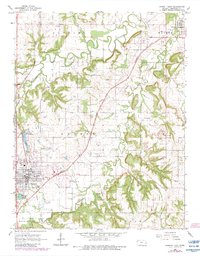
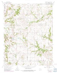
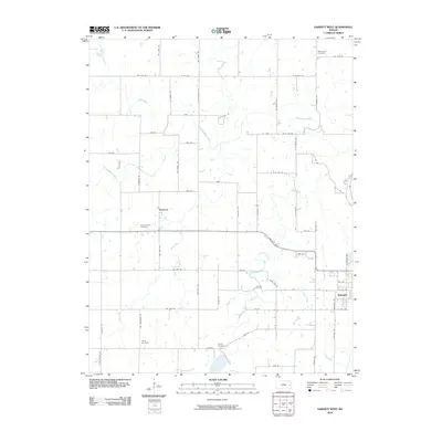
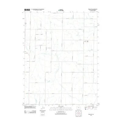
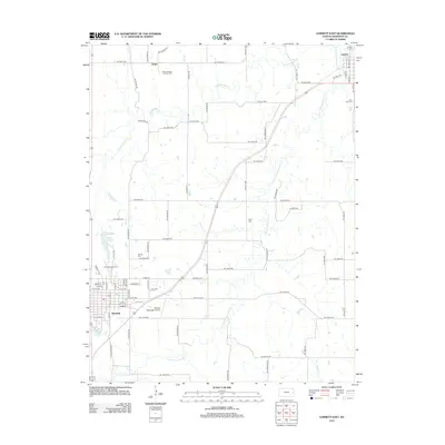
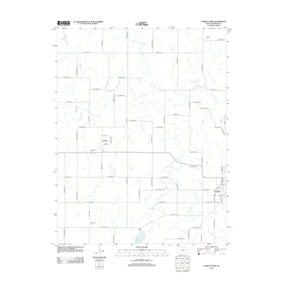
Historical Maps of Garnett Through Time
30 maps found
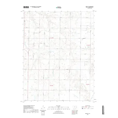
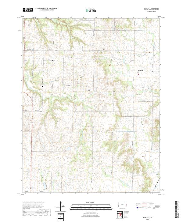
1966 Bush City
Anderson County, KS
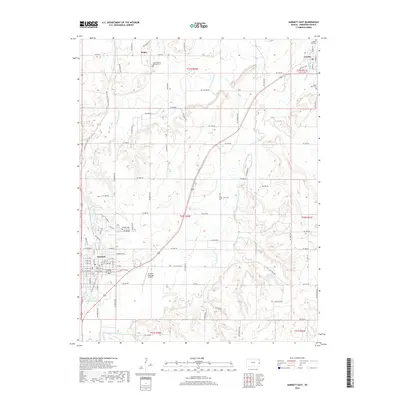
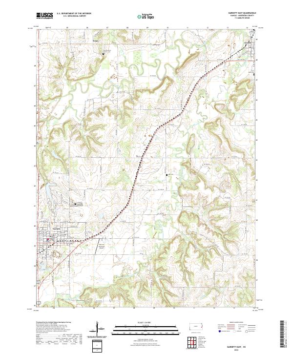
1966 Garnett East
Anderson County, KS
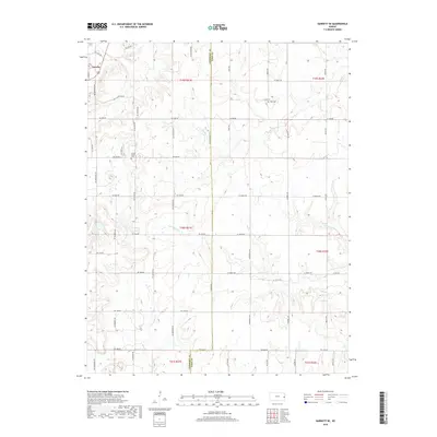
1966 Garnett SE
Anderson County, KS

1966 Garnett West
Anderson County, KS
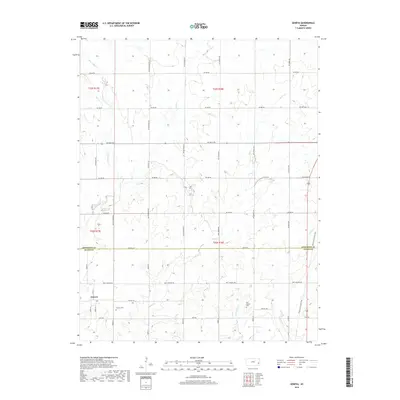
1966 Geneva
Anderson County, KS
2009 Bush City
Anderson County, KS
2009 Garnett East
Anderson County, KS
2009 Garnett SE
Anderson County, KS
2009 Geneva
Anderson County, KS
2010 Garnett West
Anderson County, KS
2012 Bush City
Anderson County, KS
2012 Garnett East
Anderson County, KS
2012 Garnett SE
Anderson County, KS
2012 Garnett West
Anderson County, KS
2012 Geneva
Anderson County, KS
2015 Bush City
Anderson County, KS
2015 Garnett East
Anderson County, KS
2015 Garnett SE
Anderson County, KS
2015 Garnett West
Anderson County, KS
2015 Geneva
Anderson County, KS
2018 Bush City
Anderson County, KS
2018 Garnett East
Anderson County, KS
2018 Garnett SE
Anderson County, KS
2018 Garnett West
Anderson County, KS
2018 Geneva
Anderson County, KS
2022 Bush City
Anderson County, KS
2022 Garnett East
Anderson County, KS
2022 Garnett SE
Anderson County, KS
2022 Garnett West
Anderson County, KS
2022 Geneva
Anderson County, KS