
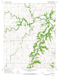
1966 Map of Garnett West
USGS Topo · Published 1983About this map
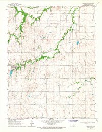
Pottawatomie Creek and Cedar Creek dominate this central Kansas landscape, winding through a region defined by agricultural history and early transport routes. The western edge of Garnett is visible, showing the local Hospital and the Missouri Pacific railroad line. Farther west, the small settlement of Glenlock sits along an Old Railroad Grade, providing a clear look at the changing rail infrastructure of the mid-20th century.
Find a feature on this map
24 named features on this map. Tap any name to fly to it.
Don’t see what you’re looking for? This feature index may not catch every label — zoom into the map to look around manually.
Map Details
Editions of this 1966 Garnett West Map
2 editions found
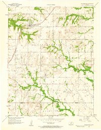
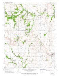
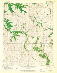
Other maps of this area

1885 · Garnett
USGS Topo · 1:125,000

1894 · Garnett
USGS Topo · 1:125,000

1947 · Lawrence
USGS Topo · 1:250,000

1950 · Lawrence
USGS Topo · 1:250,000
1956 · Williamsburg
USGS Topo · 1:24,000

1956 · Lawrence
USGS Topo · 1:250,000

1961 · Lawrence
USGS Topo · 1:250,000
1965 · Richmond
USGS Topo · 1:24,000
1966 · Bush City
USGS Topo · 1:24,000
1966 · Westphalia
USGS Topo · 1:24,000