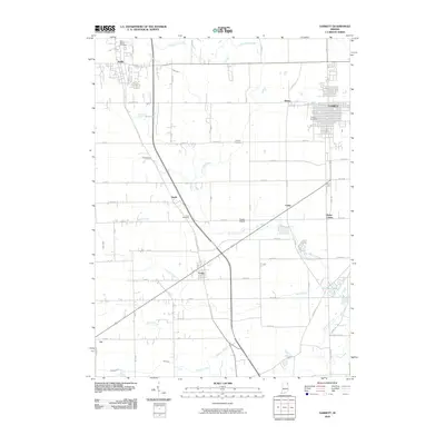
2010 Map of Garrett
USGS Topo · Published 2010About this map
The railroad-aligned town of Garrett and the smaller settlements of Avilla and Laotto anchor this corner of Indiana during the early 21st century. The map reveals a landscape defined by an extensive drainage network, including Little Cedar Creek, Sycamore Creek, and Willow Creek, alongside numerous man-made ditches like Yarde Ditch and Hinkley Ditch. This intricate water management system underscores the agricultural heritage of the region. Local history is preserved through several family and community burial sites, such as Embrey Cemetery and Swan Cemetery. Transport and infrastructure are represented by Shenk Airport and the residential expansion around Holiday Lakes. The grid of county roads connects older clusters like Altona, Swan, and Butler Center, showing the continued relevance of these rural hubs as the surrounding area transitioned from a purely agrarian economy to one more integrated with the larger regional centers.
Find a feature on this map
68 named features on this map. Tap any name to fly to it.
Don’t see what you’re looking for? This feature index may not catch every label — zoom into the map to look around manually.
Map Details
Editions of this 2010 Garrett Map
This is the sole edition of this map. No revisions or reprints were ever made.
Other maps of this area

1953 · Fort Wayne
USGS Topo · 1:250,000

1955 · Corunna
USGS Topo · 1:24,000

1955 · Ege
USGS Topo · 1:24,000

1955 · Kendallville
USGS Topo · 1:24,000

1956 · Fort Wayne
USGS Topo · 1:250,000

1956 · Cedarville
USGS Topo · 1:24,000

1957 · Auburn
USGS Topo · 1:24,000

1957 · Waterloo
USGS Topo · 1:24,000

1957 · Huntertown
USGS Topo · 1:24,000

1957 · Garrett
USGS Topo · 1:24,000