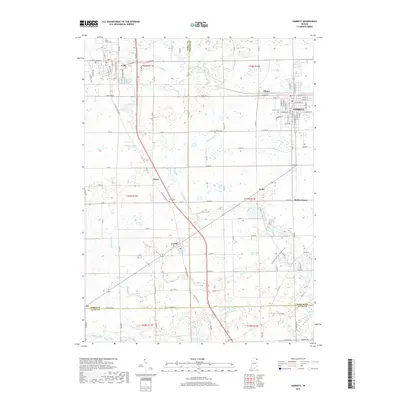
2019 Map of Garrett
USGS Topo · Published 2019About this map
Garrett and its neighboring rail-era settlements anchor this landscape where the boundaries of Noble, DeKalb, and Allen counties converge. The town of Avilla sits in the northwest corner, defined by its street grid and proximity to both the Avilla Cem and Saint Marys Cem. Moving southeast, the terrain transitions through small communities like Swan and Altona toward the more established residential blocks of Garrett, which features the notable Calvary Cem at its western edge.
Find a feature on this map
126 named features on this map. Tap any name to fly to it.
Don’t see what you’re looking for? This feature index may not catch every label — zoom into the map to look around manually.
Map Details
Editions of this 2019 Garrett Map
This is the sole edition of this map. No revisions or reprints were ever made.
Other maps of this area

1953 · Fort Wayne
USGS Topo · 1:250,000

1955 · Corunna
USGS Topo · 1:24,000

1955 · Ege
USGS Topo · 1:24,000

1955 · Kendallville
USGS Topo · 1:24,000

1956 · Fort Wayne
USGS Topo · 1:250,000

1956 · Cedarville
USGS Topo · 1:24,000

1957 · Auburn
USGS Topo · 1:24,000

1957 · Waterloo
USGS Topo · 1:24,000

1957 · Huntertown
USGS Topo · 1:24,000

1957 · Garrett
USGS Topo · 1:24,000