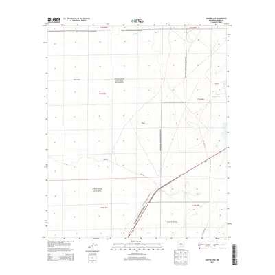
2013 Map of Garton Lake
USGS Topo · Published 2013About this map
White Sands National Monument and the White Sands Missile Range meet in this 2013 topographic study of the Tularosa Valley. The landscape is defined by its vast gypsum dunefields and a complex network of intermittent water sources and alkaline basins. Notable hydrologic features include Lost River to the north and Holloman Lake and Garton Lake to the east and south, respectively. The map captures the intersection of federal conservation and military land use, centered around the transit corridor of Us-70 W and Us-70 E. Access points like the White Sands Gate and various service roads, such as WSMR S Route 261, delineate the boundary between public monument lands and the restricted missile range. Other desert landmarks like Hurtz Spring and Loop Dr provide further navigational context for this arid, high-desert environment.
Find a feature on this map
21 named features on this map. Tap any name to fly to it.
Don’t see what you’re looking for? This feature index may not catch every label — zoom into the map to look around manually.
Map Details
Editions of this 2013 Garton Lake Map
This is the sole edition of this map. No revisions or reprints were ever made.
Other maps of this area
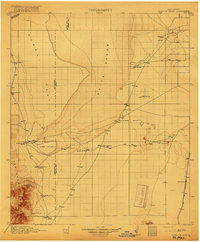
1916 · Point Of Sands
USGS Topo · 1:125,000
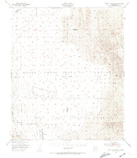
1947 · Point Of Sands 2
USGS Topo · 1:62,500
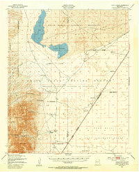
1947 · Lake Lucero
USGS Topo · 1:62,500
1948 · Tres Hermanos
USGS Topo · 1:62,500
1948 · Holloman
USGS Topo · 1:62,500
1950 · Lake Lucero NE
USGS Topo · 1:24,000
1955 · Las Cruces
USGS Topo · 1:250,000
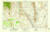
1958 · Las Cruces
USGS Topo · 1:250,000
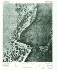
1976 · Holloman SW
USGS Topo · 1:24,000
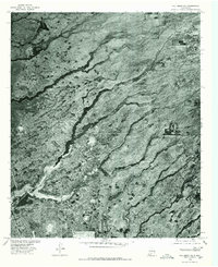
1976 · Holloman NE
USGS Topo · 1:24,000