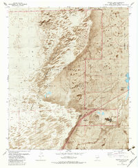
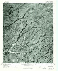
1982 Map of Garton Lake
USGS Topo · Published 1982About this map
White Sands National Monument and the surrounding desert floor define this 1982 survey, where the movement of shifting sand meets federal military and park infrastructure. The landscape is marked by unique hydrological features such as the Garton Lake Flowing Well and Hurtz Spring (Salt), which provided essential water sources in an otherwise arid environment. Along the eastern edge, the presence of Holloman Air Force Base and the White Sands Missile Range signals the region's importance for national defense and aerospace testing during the Cold War era.
Find a feature on this map
19 named features on this map. Tap any name to fly to it.
Don’t see what you’re looking for? This feature index may not catch every label — zoom into the map to look around manually.
Map Details
Editions of this 1982 Garton Lake Map
2 editions found
Other maps of this area

1916 · Point Of Sands
USGS Topo · 1:125,000

1947 · Point Of Sands 2
USGS Topo · 1:62,500

1947 · Lake Lucero
USGS Topo · 1:62,500

1948 · Tres Hermanos
USGS Topo · 1:62,500

1948 · Holloman
USGS Topo · 1:62,500
1950 · Lake Lucero NE
USGS Topo · 1:24,000

1955 · Las Cruces
USGS Topo · 1:250,000

1958 · Las Cruces
USGS Topo · 1:250,000
1976 · Holloman SW
USGS Topo · 1:24,000
1976 · Holloman NE
USGS Topo · 1:24,000