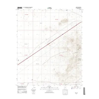
2013 Map of Gary
USGS Topo · Published 2013About this map
Gary sits as a central point of activity along a major transportation corridor through the high desert of Hidalgo County. The settlement is positioned near Lordsburg Draw, where the landscape transitions from the broad, open stretches of the Tobosa Flats to the rising elevations of the Pyramid Mountains. This range dominates the eastern half of the map, featuring distinct landmarks such as Lee Peak, Lookout Hill, and Eightyfive Hill. The complex drainage patterns of the region are evidenced by several seasonal watercourses, including Banner Canyon and Aberdeen Draw, which cut through the mountain slopes toward the lower plains. To the south, the terrain descends into Gore Canyon, while the western edge is defined by the stark expanse of South Alkali Flat. These features reveal a classic southwestern environment where infrastructure is tightly bound to the naturally occurring gaps and passes between mountain peaks and dry lake beds.
Find a feature on this map
22 named features on this map. Tap any name to fly to it.
Don’t see what you’re looking for? This feature index may not catch every label — zoom into the map to look around manually.
Map Details
Editions of this 2013 Gary Map
This is the sole edition of this map. No revisions or reprints were ever made.
Other maps of this area

1954 · Silver City
USGS Topo · 1:250,000

1958 · Silver City
USGS Topo · 1:250,000

1962 · Silver City
USGS Topo · 1:250,000

1963 · Lordsburg
USGS Topo · 1:24,000

1963 · Culberson Ranch
USGS Topo · 1:24,000

1964 · Pyramid Peak
USGS Topo · 1:24,000
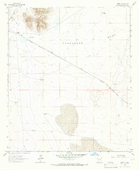
1964 · Summit
USGS Topo · 1:24,000
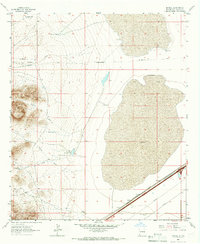
1964 · Mondel
USGS Topo · 1:24,000

1964 · Gary
USGS Topo · 1:24,000
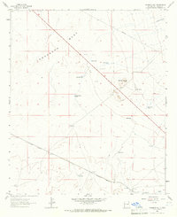
1964 · Ninemile Hill
USGS Topo · 1:24,000