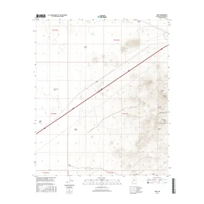
2017 Map of Gary
USGS Topo · Published 2017About this map
The settlement of Gary sits at the heart of this high-desert landscape in Hidalgo County, anchored by a prominent transportation corridor that cuts diagonally across the basin. To the east, the rugged topography of the Pyramid Mountains rises sharply, featuring distinct peaks such as Aberdeen Peak, Lee Peak, and Lookout Hill. The mapping reveals a complex network of drainage systems, including Lordsburg Draw and Aberdeen Draw, which navigate the arid terrain between the mountains and the low-lying Tobosa Flats. Local infrastructure is marked by specialized routes like Banner Mine Rd, pointing to the region's historical ties to mineral extraction. Further south, the landscape transitions into canyon country with Banner Canyon and Gore Canyon providing deep relief against the surrounding plains, while the presence of Slough Tank highlights the vital, though sparse, water management features necessary for life in the New Mexico desert.
Find a feature on this map
24 named features on this map. Tap any name to fly to it.
Don’t see what you’re looking for? This feature index may not catch every label — zoom into the map to look around manually.
Map Details
Editions of this 2017 Gary Map
This is the sole edition of this map. No revisions or reprints were ever made.
Other maps of this area

1954 · Silver City
USGS Topo · 1:250,000
1958 · Silver City
USGS Topo · 1:250,000
1962 · Silver City
USGS Topo · 1:250,000
1963 · Lordsburg
USGS Topo · 1:24,000
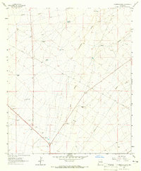
1963 · Culberson Ranch
USGS Topo · 1:24,000
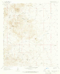
1964 · Pyramid Peak
USGS Topo · 1:24,000
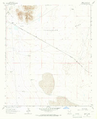
1964 · Summit
USGS Topo · 1:24,000
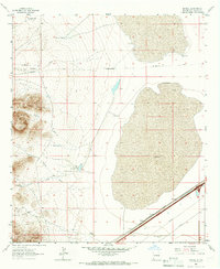
1964 · Mondel
USGS Topo · 1:24,000
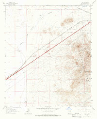
1964 · Gary
USGS Topo · 1:24,000
1964 · Ninemile Hill
USGS Topo · 1:24,000