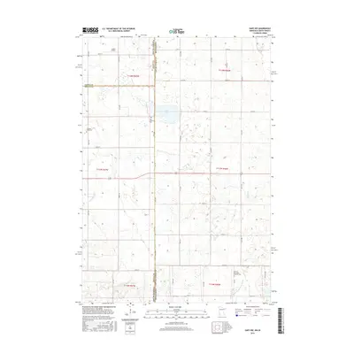
2016 Map of Gary NW
USGS Topo · Published 2016About this map
The state line between South Dakota and Minnesota bisects this landscape of glacial prairie and prairie wetlands. The border territory is dotted with numerous small lakes and basins, the most prominent being Salt Lake situated just west of the boundary. Settlement patterns are defined by a strictly rectilinear road grid, where rural life centers on long-standing religious landmarks like the Zoar Lutheran Cem and Mehurin Norwegian Lutheran Cem. Drainage across the region is managed by winding waterways such as Lost Cr, Crow Cr, and the W Br Lac qui Parle River, which break the geometry of the section lines. This 2016 survey also documents Lundin Airport and Antelope Valley Cem, providing a precise record of the infrastructure and family history sites found at the intersection of Deuel, Grant, and Lac qui Parle counties.
Find a feature on this map
35 named features on this map. Tap any name to fly to it.
Don’t see what you’re looking for? This feature index may not catch every label — zoom into the map to look around manually.
Map Details
Editions of this 2016 Gary NW Map
This is the sole edition of this map. No revisions or reprints were ever made.
Other maps of this area
1953 · Bellingham
USGS Topo · 1:62,500
1953 · Milbank
USGS Topo · 1:250,000

1953 · Watertown
USGS Topo · 1:250,000
1958 · Milbank
USGS Topo · 1:250,000

1958 · Watertown
USGS Topo · 1:250,000
1967 · Gary
USGS Topo · 1:24,000
1967 · Gary SE
USGS Topo · 1:24,000
1967 · Gary NW
USGS Topo · 1:24,000
1967 · Mount Wickham
USGS Topo · 1:24,000
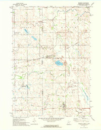
1971 · Marietta
USGS Topo · 1:24,000
Featured Places
- Antelope Valley Township, SD
- Glenwood Township, SD
- Lac qui Parle County, MN
- Deuel County, SD
- Grant County, SD