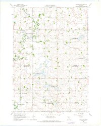
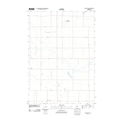
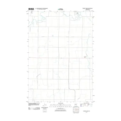
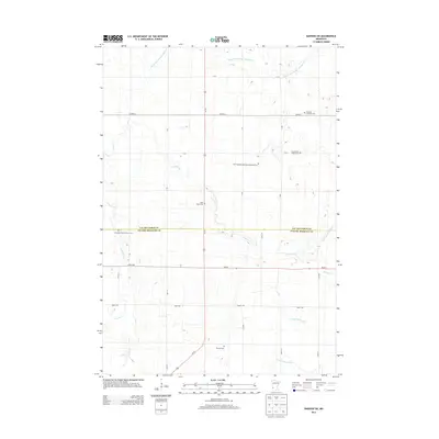
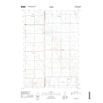
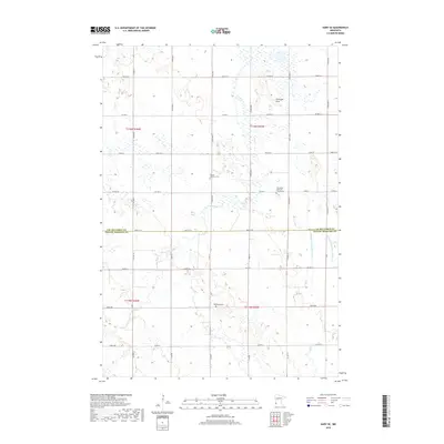
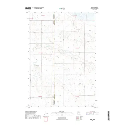
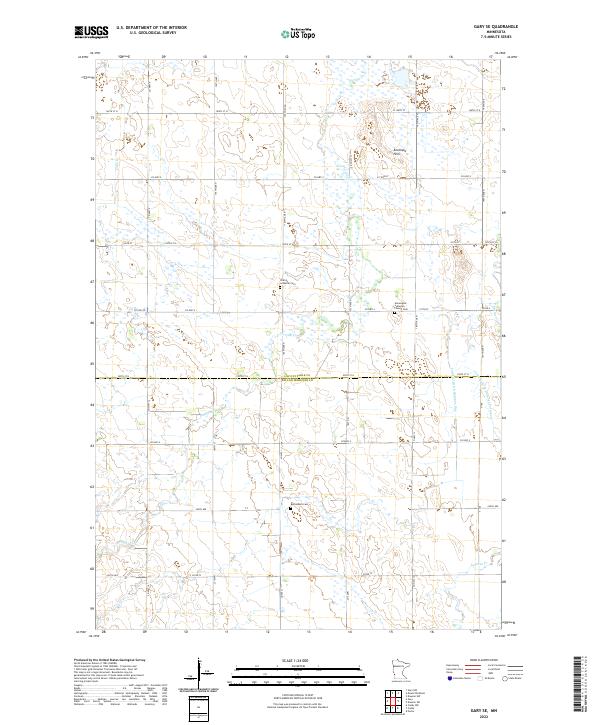
2022 Map of Gary NW
USGS Topo · Published 2022About this map
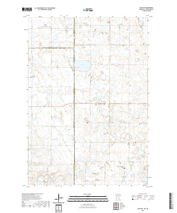
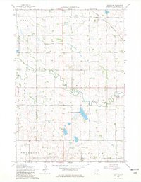
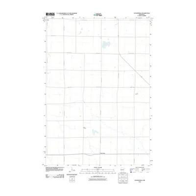
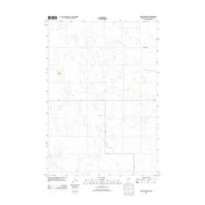
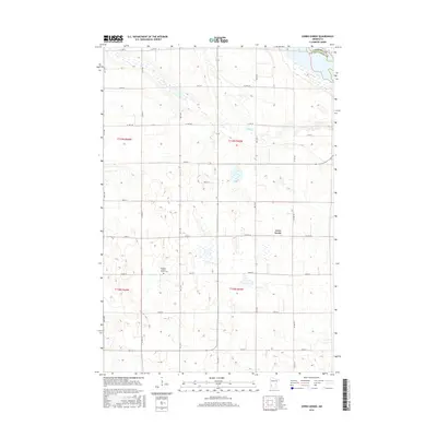
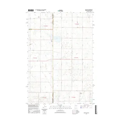
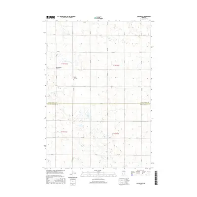
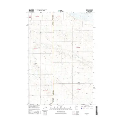
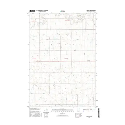
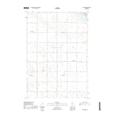
Salt Lake and the surrounding prairie wetlands define this rural landscape along the South Dakota and Minnesota border. This modern survey illustrates the agrarian character of Lac qui Parle and Deuel counties, where section-line roads like 101st Ave and 180th St grid the territory between small drainage ways. The map is particularly useful for genealogists, as it documents several historical burial grounds including Zoar Lutheran Cem, Antelope Valley Cem, and Mehurin Norwegian Lutheran Cem. These sites, often associated with early Scandinavian and German settlements, remain key landmarks alongside local aviation infrastructure such as Lundin Airport. Hydrographic features including Lost Cr, Crow Timber Cr, and the upper reaches of the Lac qui Parle River wind through the township, marking the subtle drainage patterns of the Great Plains.
Find a feature on this map
46 named features on this map. Tap any name to fly to it.
Don’t see what you’re looking for? This feature index may not catch every label — zoom into the map to look around manually.
Map Details
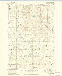
Editions of this 2022 Gary NW Map
This is the sole edition of this map. No revisions or reprints were ever made.
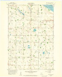
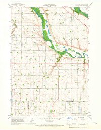
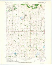
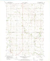
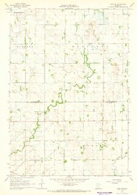
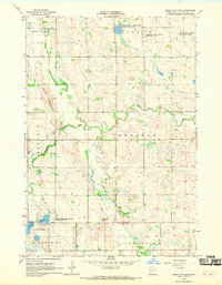
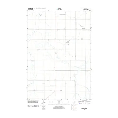
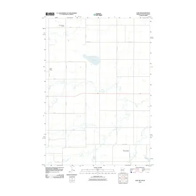
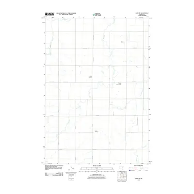
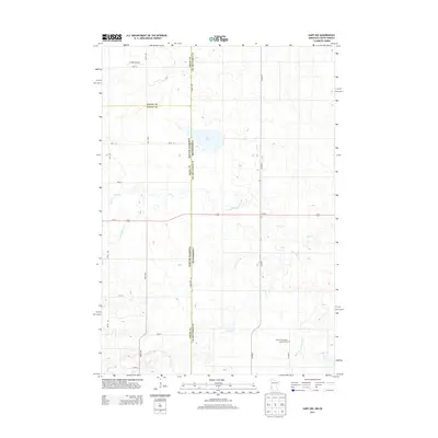
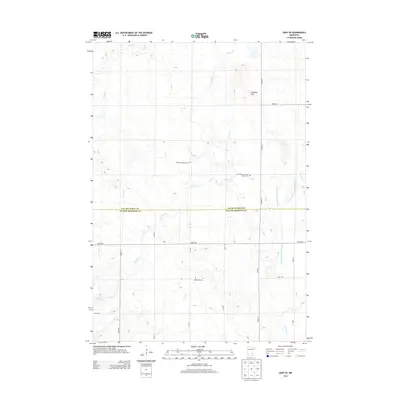
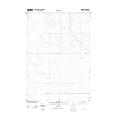
Historical Maps of Glenwood Township Through Time
65 maps found
1958 Cerro Gordo
Lac qui Parle County, MN
1965 Clarkfield NE
Lac qui Parle County, MN
1965 Tenmile Lake
Lac qui Parle County, MN
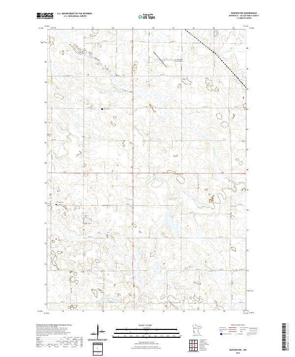
1967 Dawson NW
Lac qui Parle County, MN
1967 Dawson SW
Lac qui Parle County, MN
1967 Gary SE
Lac qui Parle County, MN
1967 Mount Wickham
Lac qui Parle County, MN
1967 Providence
Lac qui Parle County, MN
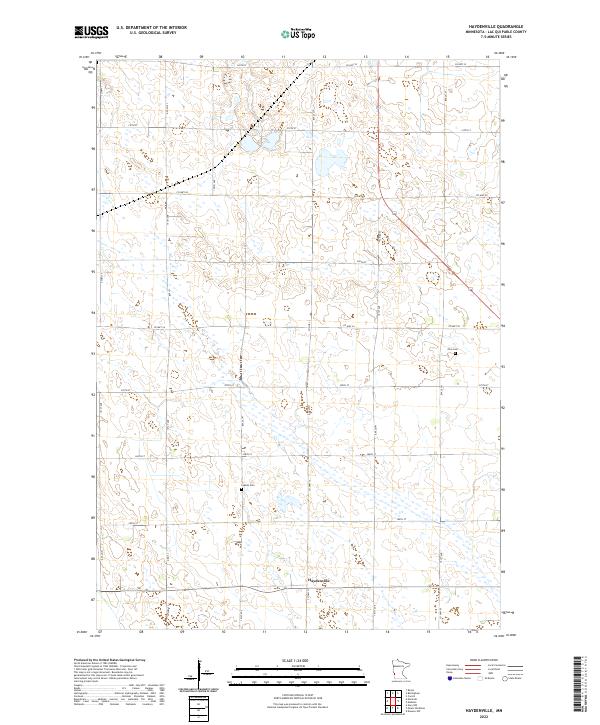
1971 Haydenville
Lac qui Parle County, MN

1971 Rosen
Lac qui Parle County, MN
2010 Cerro Gordo
Lac qui Parle County, MN
2010 Clarkfield NE
Lac qui Parle County, MN
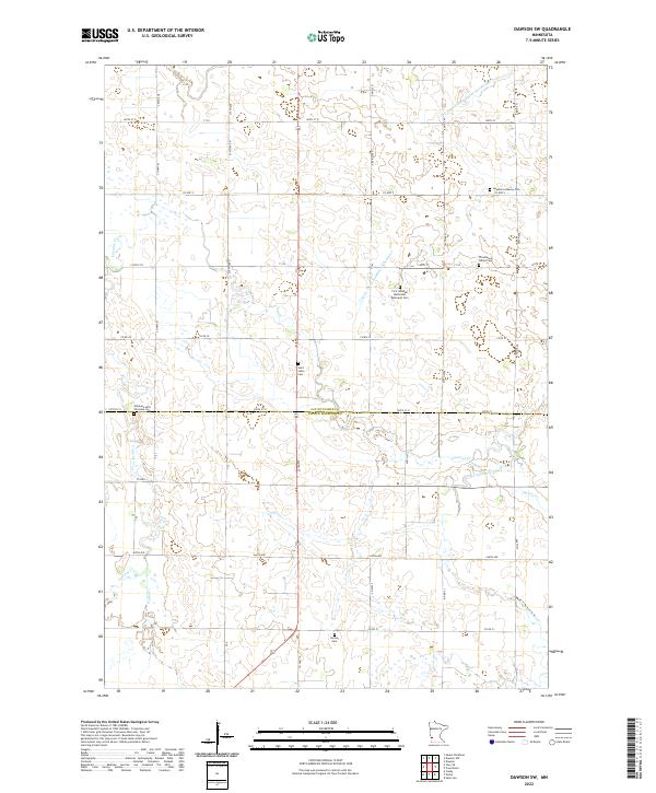
2010 Dawson NW
Lac qui Parle County, MN
2010 Dawson SW
Lac qui Parle County, MN
2010 Gary NW
Lac qui Parle County, MN
2010 Gary SE
Lac qui Parle County, MN
2010 Haydenville
Lac qui Parle County, MN
2010 Mount Wickham
Lac qui Parle County, MN
2010 Providence
Lac qui Parle County, MN
2010 Rosen
Lac qui Parle County, MN
2010 Tenmile Lake
Lac qui Parle County, MN
2013 Cerro Gordo
Lac qui Parle County, MN
2013 Clarkfield NE
Lac qui Parle County, MN
2013 Dawson NW
Lac qui Parle County, MN
2013 Dawson SW
Lac qui Parle County, MN
2013 Gary NW
Lac qui Parle County, MN
2013 Gary SE
Lac qui Parle County, MN
2013 Haydenville
Lac qui Parle County, MN
2013 Mount Wickham
Lac qui Parle County, MN
2013 Providence
Lac qui Parle County, MN
2013 Rosen
Lac qui Parle County, MN
2013 Tenmile Lake
Lac qui Parle County, MN
2016 Cerro Gordo
Lac qui Parle County, MN
2016 Clarkfield NE
Lac qui Parle County, MN
2016 Dawson NW
Lac qui Parle County, MN
2016 Dawson SW
Lac qui Parle County, MN
2016 Gary NW
Lac qui Parle County, MN
2016 Gary SE
Lac qui Parle County, MN
2016 Haydenville
Lac qui Parle County, MN
2016 Mount Wickham
Lac qui Parle County, MN
2016 Providence
Lac qui Parle County, MN
2016 Rosen
Lac qui Parle County, MN
2016 Tenmile Lake
Lac qui Parle County, MN
2019 Cerro Gordo
Lac qui Parle County, MN
2019 Clarkfield NE
Lac qui Parle County, MN
2019 Dawson NW
Lac qui Parle County, MN
2019 Dawson SW
Lac qui Parle County, MN
2019 Gary NW
Lac qui Parle County, MN
2019 Gary SE
Lac qui Parle County, MN
2019 Haydenville
Lac qui Parle County, MN
2019 Mount Wickham
Lac qui Parle County, MN
2019 Providence
Lac qui Parle County, MN
2019 Rosen
Lac qui Parle County, MN
2019 Tenmile Lake
Lac qui Parle County, MN
2022 Cerro Gordo
Lac qui Parle County, MN
2022 Clarkfield NE
Lac qui Parle County, MN
2022 Dawson NW
Lac qui Parle County, MN
2022 Dawson SW
Lac qui Parle County, MN
2022 Gary NW
Lac qui Parle County, MN
2022 Gary SE
Lac qui Parle County, MN
2022 Haydenville
Lac qui Parle County, MN
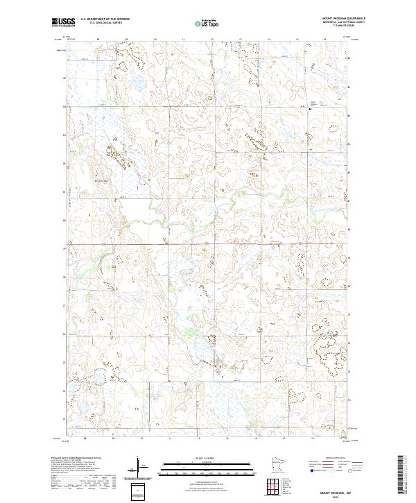
2022 Mount Wickham
Lac qui Parle County, MN
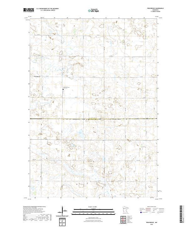
2022 Providence
Lac qui Parle County, MN
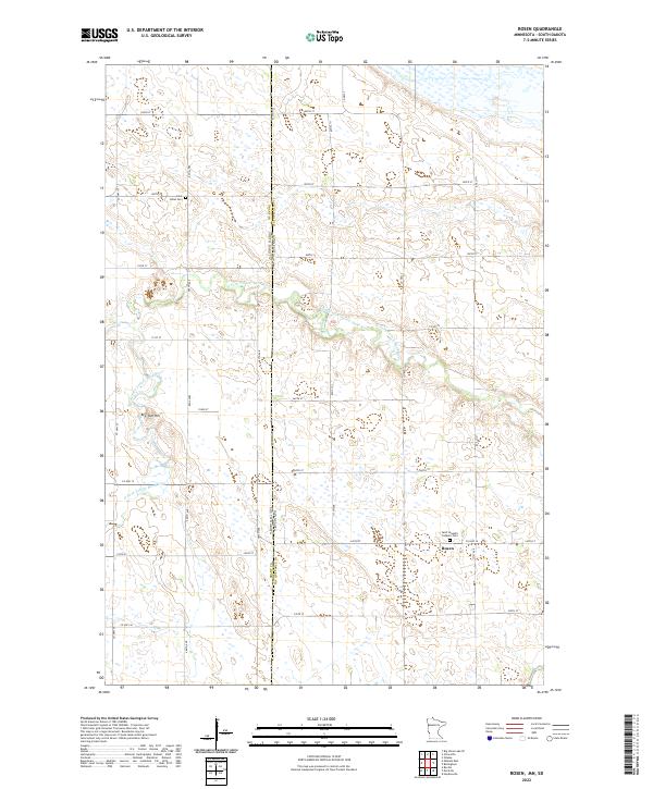
2022 Rosen
Lac qui Parle County, MN
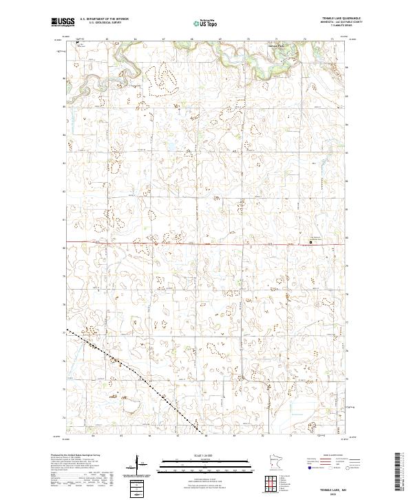
2022 Tenmile Lake
Lac qui Parle County, MN
Featured Locations
- Lac qui Parle County, MN
- Grant County, SD
- Deuel County, SD
- Antelope Valley Township, SD
- Glenwood Township, SD