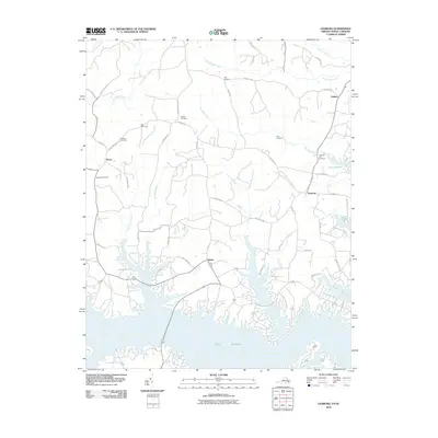
2010 Map of Gasburg
USGS Topo · Published 2010About this map
Lake Gaston dominates the southern landscape of this Virginia-North Carolina border region, its winding shoreline creating a complex network of coves and peninsulas. The settlement of Gasburg sits at a central crossroads near the northern reaches of the reservoir, serving as a focal point for the surrounding rural communities of Ebony, Ankum, and Elams. The terrain is defined by numerous drainage systems, including Pea Hill Creek, Pigeonroost Creek, and Rattlesnake Creek, which fed the basin before the inundation that formed the lake. Numerous family and community burial grounds, such as Prospect Cemetery and Pleasant Hill Cemetery, are scattered across the uplands, providing important markers for local genealogical research. The road network, featuring names like Robinson Ferry Rd and Clary Mill Rd, hints at the area's older transportation and industry patterns that existed before the development of the lake as a major geographic feature.
Find a feature on this map
53 named features on this map. Tap any name to fly to it.
Don’t see what you’re looking for? This feature index may not catch every label — zoom into the map to look around manually.
Map Details
Editions of this 2010 Gasburg Map
This is the sole edition of this map. No revisions or reprints were ever made.
Other maps of this area

1919 · White Plains
USGS Topo · 1:48,000

1920 · White Plains
USGS Topo · 1:62,500

1953 · Norfolk
USGS Topo · 1:250,000

1953 · Greensboro
USGS Topo · 1:250,000

1954 · Greensboro
USGS Topo · 1:250,000

1962 · Greensboro
USGS Topo · 1:250,000

1963 · Powellton
USGS Topo · 1:24,000

1963 · Gasburg
USGS Topo · 1:24,000

1963 · Valentines
USGS Topo · 1:24,000

1963 · White Plains
USGS Topo · 1:24,000