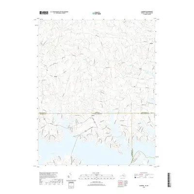
2019 Map of Gasburg
USGS Topo · Published 2019About this map
Lake Gaston dominates the southern landscape of this 2019 survey, where the waters of the Roanoke River basin cross the state line between Virginia and North Carolina. The map captures a transition from the agricultural uplands of Ebony and Ankum to the modern residential development lining the fingers of the reservoir. Numerous family burying grounds, including the Reid Cem, Kirkland Cem, and Powell Cem, are preserved across the interior, offering vital coordinates for genealogists. The creek networks of Pea Hill Cr, Lizard Cr, and Rattlesnake Cr dissect the terrain, while the settlement of Elams sits near the interstate border. This survey illustrates the contrast between established rural crossroads and the newer, winding lanes like Edwards Ridge Rd and Tidewater Dr that have redefined the shoreline of Brunswick County.
Find a feature on this map
114 named features on this map. Tap any name to fly to it.
Don’t see what you’re looking for? This feature index may not catch every label — zoom into the map to look around manually.
Map Details
Editions of this 2019 Gasburg Map
This is the sole edition of this map. No revisions or reprints were ever made.
Other maps of this area

1919 · White Plains
USGS Topo · 1:48,000

1920 · White Plains
USGS Topo · 1:62,500

1953 · Norfolk
USGS Topo · 1:250,000

1953 · Greensboro
USGS Topo · 1:250,000

1954 · Greensboro
USGS Topo · 1:250,000

1962 · Greensboro
USGS Topo · 1:250,000

1963 · Powellton
USGS Topo · 1:24,000

1963 · Gasburg
USGS Topo · 1:24,000

1963 · Valentines
USGS Topo · 1:24,000

1963 · White Plains
USGS Topo · 1:24,000