2022 Map of Gassaway
USGS Topo · Published 2022About this map
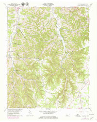
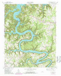
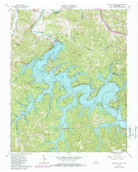
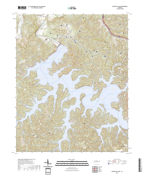
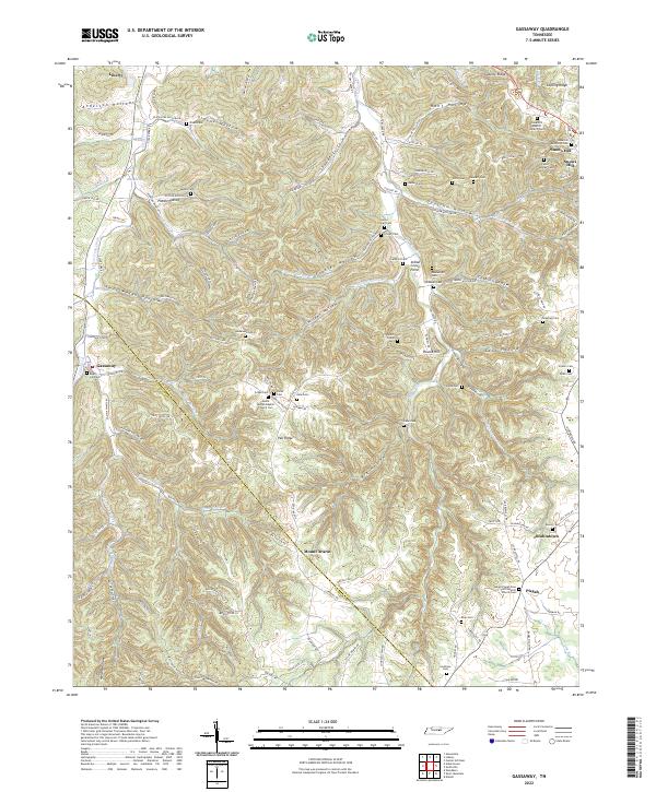
Clear Fork Creek and its many tributaries, such as Three Forks Br and Frazier Hollow Br, carve a dense network of ridges and hollows across the DeKalb and Cannon County line. This area is characterized by scattered rural settlements and a significant concentration of family burial grounds and community landmarks. The map documents the Gassaway School and various houses of worship including the Mount Moriah Baptist Church Cem and Snow Hill Methodist Cem. The landscape is defined by its verticality, with named heights like Snows Hill, Round Hill, and Mount Ararat rising above narrow valleys. Genealogists will find a wealth of local history in the numerous small cemeteries, such as Givan Cem, Mathis Cem, and Zenith Cripps Cem, which are often located near the historical homesteads and ridges they served.
Find a feature on this map
132 named features on this map. Tap any name to fly to it.
Don’t see what you’re looking for? This feature index may not catch every label — zoom into the map to look around manually.
Map Details
Editions of this 2022 Gassaway Map
This is the sole edition of this map. No revisions or reprints were ever made.
Historical Maps of Mount Ararat Through Time
6 maps found