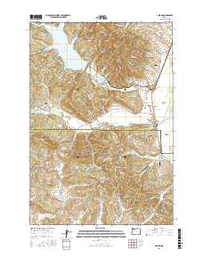
2017 Map of Gaston
USGS Topo · Published 2017About this map
Henry Hagg Lake and the Tualatin River define the northern and central landscape of this Tualatin Valley region. In the south, the terrain transitions into the agricultural and orchard lands of Cove Orchard and the Garrish Valley. The geography is shaped by water management and industry, featuring the Stimson Millpond and the drained expanse of the Wapato Lake Bed. Small settlements like Gaston and Cherry Grove serve as local hubs along the base of the Coast Range foothills, while aviation is represented by private strips such as Dick Fisher Airport and Goodin Creek Airport. This map provides a detailed view of the border between Washington County and Yamhill County, showing the established cemeteries like Mount Olive Lutheran Cem and Cherry Grove Cem that anchor these rural communities.
Find a feature on this map
96 named features on this map. Tap any name to fly to it.
Don’t see what you’re looking for? This feature index may not catch every label — zoom into the map to look around manually.
Map Details
Editions of this 2017 Gaston Map
This is the sole edition of this map. No revisions or reprints were ever made.
Other maps of this area
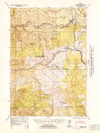
1941 · Timber
USGS Topo · 1:62,500
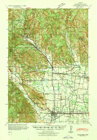
1941 · Gales Creek
USGS Topo · 1:62,500
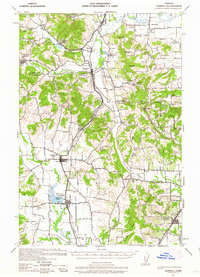
1941 · Yamhill
USGS Topo · 1:62,500
1942 · Yamhill
USGS Topo · 1:62,500
1942 · Fairdale
USGS Topo · 1:62,500
1948 · Vancouver
USGS Topo · 1:250,000
1950 · Vancouver
USGS Topo · 1:250,000
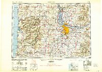
1950 · Vancouver
USGS Topo · 1:250,000
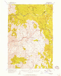
1955 · Timber
USGS Topo · 1:62,500
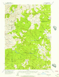
1955 · Fairdale
USGS Topo · 1:62,500