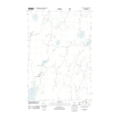
2011 Map of Gates Lake
USGS Topo · Published 2011About this map
Sailor Lake and Gates Lake lie at the heart of this Northwoods landscape, characterized by an intricate network of managed wetlands and flowages. The drainage of Squaw Creek is heavily shaped by water control infrastructure, including the Squaw Creek D31.18 Dam and the Squaw Creek Wildlife Flowage 2WP2459 Dam, which support the Upper Squaw Creek Waterfowl Area and its lower counterpart. These features suggest a region deeply committed to conservation and habitat management within the Chequamegon-Nicolet National Forest area. The settlement of Hicks Landing serves as a lone named outpost in a territory otherwise defined by winding forest roads like Hicks Landing Rd and Sailor Lake Rd. Small water bodies such as Spur Lake, Beaver Lake, and Nichols Lake dot the terrain, while larger basins like Solberg Lake and the Schmuland Flowage anchor the southern and eastern edges of the map.
Find a feature on this map
49 named features on this map. Tap any name to fly to it.
Don’t see what you’re looking for? This feature index may not catch every label — zoom into the map to look around manually.
Map Details
Editions of this 2011 Gates Lake Map
This is the sole edition of this map. No revisions or reprints were ever made.
Other maps of this area

1941 · Park Falls
USGS Topo · 1:48,000

1941 · Pike Lake
USGS Topo · 1:48,000

1941 · Phillips
USGS Topo · 1:48,000

1941 · Brantwood
USGS Topo · 1:48,000

1942 · Pike Lake
USGS Topo · 1:48,000

1943 · Park Falls
USGS Topo · 1:48,000

1943 · Philliips
USGS Topo · 1:48,000

1943 · Brantwood
USGS Topo · 1:48,000

1947 · Park Falls
USGS Topo · 1:48,000

1950 · Pike Lake
USGS Topo · 1:48,000