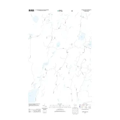
2013 Map of Gates Lake
USGS Topo · Published 2013About this map
Hicks Landing serves as a lone settlement marker in this dense northern woods landscape of Price County, where a complex network of forest roads and water bodies defines the terrain. The hydrological profile is particularly detailed, featuring numerous managed water levels such as Schmuland Flowage, Squaw Cr Flowage 6, and Lower Squaw Cr Flowage. These flowages, alongside named natural features like Gates Lake and Solberg Lake, suggest a region heavily utilized for timber management and outdoor recreation. The map traces the winding paths of Sailor Cr and Squaw Creek, which are interconnected by a system of primary routes like Federal Rd and a web of secondary timber access paths including Sailor Lake Rd and N Gates Lake Rd. The presence of Hogsback Springs near the northern boundary provides a specific landmark for those interested in the natural hydrology and early land use of this section of the Wisconsin wilderness.
Find a feature on this map
33 named features on this map. Tap any name to fly to it.
Don’t see what you’re looking for? This feature index may not catch every label — zoom into the map to look around manually.
Map Details
Editions of this 2013 Gates Lake Map
This is the sole edition of this map. No revisions or reprints were ever made.
Other maps of this area
1941 · Park Falls
USGS Topo · 1:48,000
1941 · Pike Lake
USGS Topo · 1:48,000
1941 · Phillips
USGS Topo · 1:48,000
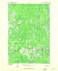
1941 · Brantwood
USGS Topo · 1:48,000
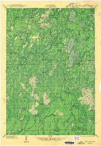
1942 · Pike Lake
USGS Topo · 1:48,000
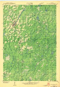
1943 · Park Falls
USGS Topo · 1:48,000
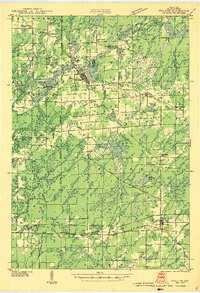
1943 · Philliips
USGS Topo · 1:48,000
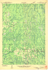
1943 · Brantwood
USGS Topo · 1:48,000
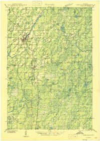
1947 · Park Falls
USGS Topo · 1:48,000
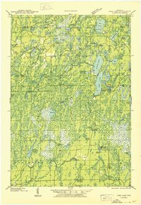
1950 · Pike Lake
USGS Topo · 1:48,000