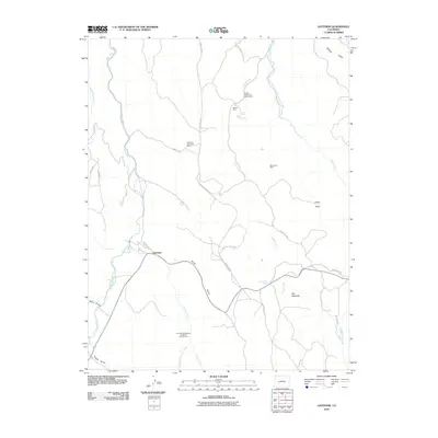
2010 Map of Gateview
USGS Topo · Published 2010About this map
Gateview sits at the junction of Lake Fork and Indian Creek, serving as a central point in this high-altitude landscape of Gunnison County. The terrain is defined by its mining history, with several operations scattered across the drainage basins. Notable sites include the American Flag Shaft Mine and the Dubois Mine, alongside the specifically identified C W Carr Manganese Prospect Number One.
Find a feature on this map
30 named features on this map. Tap any name to fly to it.
Don’t see what you’re looking for? This feature index may not catch every label — zoom into the map to look around manually.
Map Details
Editions of this 2010 Gateview Map
This is the sole edition of this map. No revisions or reprints were ever made.
Other maps of this area

1903 · Lake City
USGS Topo · 1:62,500

1905 · Lake City
USGS Topo · 1:62,500

1908 · Uncompahgre
USGS Topo · 1:125,000

1911 · Uncompahgre
USGS Topo · 1:125,000

1954 · Iola
USGS Topo · 1:24,000

1954 · Cebolla
USGS Topo · 1:24,000

1954 · Sapinero
USGS Topo · 1:24,000

1954 · Gateview
USGS Topo · 1:24,000

1956 · Montrose
USGS Topo · 1:250,000

1959 · Montrose
USGS Topo · 1:250,000