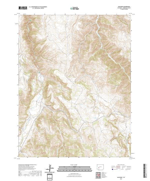
2022 Map of Gateview
USGS Topo · Published 2022About this map
Gateview sits at the convergence of mountain drainages in Gunnison County, where the Lake Fork and Indian Cr carve through high-elevation terrain. This modern survey illustrates a landscape defined by significant peaks such as Tolvar Peak and Round Mtn, alongside the complex drainage networks of Cebolla Creek and Goose Cr. The settlement pattern is sparse, with primary access provided by CO RD 149c and several trails like Engineers Trl and Schofield Trl, which follow the contours of the local gulches.
Find a feature on this map
40 named features on this map. Tap any name to fly to it.
Don’t see what you’re looking for? This feature index may not catch every label — zoom into the map to look around manually.
Map Details
Editions of this 2022 Gateview Map
This is the sole edition of this map. No revisions or reprints were ever made.
Other maps of this area

1903 · Lake City
USGS Topo · 1:62,500

1905 · Lake City
USGS Topo · 1:62,500

1908 · Uncompahgre
USGS Topo · 1:125,000

1911 · Uncompahgre
USGS Topo · 1:125,000

1954 · Iola
USGS Topo · 1:24,000

1954 · Cebolla
USGS Topo · 1:24,000

1954 · Sapinero
USGS Topo · 1:24,000

1954 · Gateview
USGS Topo · 1:24,000

1956 · Montrose
USGS Topo · 1:250,000

1959 · Montrose
USGS Topo · 1:250,000