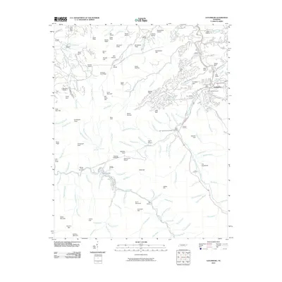
2010 Map of Gatlinburg
USGS Topo · Published 2010About this map
Gatlinburg and its surrounding mountain terrain are documented here at a time of significant recreational development and historical preservation. The town center, marked by the Gatlinburg Post Office, sits at the confluence of the West Prong Little Pigeon River and several mountain branches. The landscape is dotted with ancestral burial grounds, including the White Oak Flats Cemetery, Ownby Cemetery, and Forks of River Cemetery, which serve as vital markers for local genealogy. Outside the main settlement, the area transitions into a network of high ridges like Cove Mountain and Mount Harrison. The presence of established sites such as Camp Le Conte, Trotter Camp, and the Millsap Picnic Grounds reflects the long-standing role of the area as a gateway to the high peaks. Notable natural landmarks like the Laurel Falls Waterfall and the King Hollow Spring highlight the abundance of water sources throughout the drainage basins of the Little River.
Find a feature on this map
175 named features on this map. Tap any name to fly to it.
Don’t see what you’re looking for? This feature index may not catch every label — zoom into the map to look around manually.
Map Details
Editions of this 2010 Gatlinburg Map
This is the sole edition of this map. No revisions or reprints were ever made.
Other maps of this area

1886 · Knoxville
USGS Topo · 1:125,000

1892 · Knoxville
USGS Topo · 1:125,000

1893 · Mt Guyot
USGS Topo · 1:125,000

1894 · Knoxville
USGS Topo · 1:125,000

1895 · Knoxville
USGS Topo · 1:125,000

1901 · Knoxville
USGS Topo · 1:125,000

1912 · Mt Guyot
USGS Topo · 1:125,000

1935 · English Mountain
USGS Topo · 1:48,000

1935 · Walden Creek
USGS Topo · 1:24,000

1935 · Richardson Cove
USGS Topo · 1:24,000