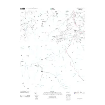
2013 Map of Gatlinburg
USGS Topo · Published 2013About this map
Gatlinburg serves as the focal point for this survey of the Sevier County highlands, where the town's expanding footprint meets the steep slopes of the Great Smoky Mountains. The landscape is defined by its deep drainage basins, including the Roaring Fork and Le Conte Cr, which feed the West Prong Little Pigeon River. Settlement patterns show a distinct shift from the concentrated development of Greystone Heights and the winding residential roads of Chalet Village to the more dispersed mountain communities like Starkeytown and the historic area of Elkmont.
Find a feature on this map
215 named features on this map. Tap any name to fly to it.
Don’t see what you’re looking for? This feature index may not catch every label — zoom into the map to look around manually.
Map Details
Editions of this 2013 Gatlinburg Map
This is the sole edition of this map. No revisions or reprints were ever made.
Other maps of this area

1886 · Knoxville
USGS Topo · 1:125,000

1892 · Knoxville
USGS Topo · 1:125,000

1893 · Mt Guyot
USGS Topo · 1:125,000

1894 · Knoxville
USGS Topo · 1:125,000

1895 · Knoxville
USGS Topo · 1:125,000

1901 · Knoxville
USGS Topo · 1:125,000

1912 · Mt Guyot
USGS Topo · 1:125,000

1935 · English Mountain
USGS Topo · 1:48,000

1935 · Walden Creek
USGS Topo · 1:24,000

1935 · Richardson Cove
USGS Topo · 1:24,000