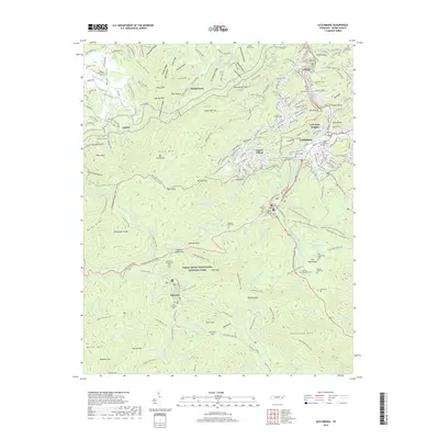
2019 Map of Gatlinburg
USGS Topo · Published 2019About this map
Gatlinburg and the surrounding wilderness of the Great Smoky Mountains National Park are documented here, showing the intersection of resort development and protected forest. The map detail highlights the growth of Chalet Village and Greystone Heights adjacent to the deep mountain terrain of Cove Mtn. For the family historian, numerous burial grounds are noted throughout the landscape, including Banner Cem, White Oak Flats Cem, and the remote Old Sugarlands Cem within the park boundaries. The presence of the Sugarlands Visitor Center and Park Headquarters marks the transition from the bustling streets of Gatlinburg to the quiet reaches of the Little Pigeon River West Prong. Evidence of older, smaller settlements remains in labels like Starkeytown and the former logging hub at Elkmont, where the Trentham Cem still resides.
Find a feature on this map
233 named features on this map. Tap any name to fly to it.
Don’t see what you’re looking for? This feature index may not catch every label — zoom into the map to look around manually.
Map Details
Editions of this 2019 Gatlinburg Map
This is the sole edition of this map. No revisions or reprints were ever made.
Other maps of this area

1886 · Knoxville
USGS Topo · 1:125,000

1892 · Knoxville
USGS Topo · 1:125,000

1893 · Mt Guyot
USGS Topo · 1:125,000

1894 · Knoxville
USGS Topo · 1:125,000

1895 · Knoxville
USGS Topo · 1:125,000

1901 · Knoxville
USGS Topo · 1:125,000

1912 · Mt Guyot
USGS Topo · 1:125,000

1935 · English Mountain
USGS Topo · 1:48,000

1935 · Walden Creek
USGS Topo · 1:24,000

1935 · Richardson Cove
USGS Topo · 1:24,000