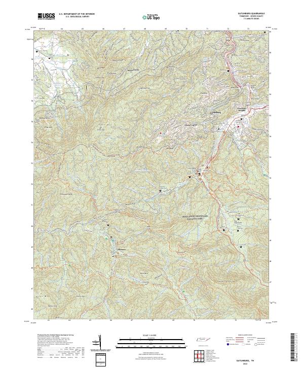
2022 Map of Gatlinburg
USGS Topo · Published 2022About this map
Gatlinburg and the northern reaches of the Great Smoky Mountains National Park dominate this landscape, showing the transition from mountain resort hubs to the protected wilderness of the Smokies. The map detail highlights the deeply rooted family history of the region through a high density of small cemeteries, such as the Old Sugarlands Cem and Burton Ogle Cem, which remain as markers of the communities that existed before the park's establishment.
Find a feature on this map
162 named features on this map. Tap any name to fly to it.
Don’t see what you’re looking for? This feature index may not catch every label — zoom into the map to look around manually.
Map Details
Editions of this 2022 Gatlinburg Map
This is the sole edition of this map. No revisions or reprints were ever made.
Other maps of this area

1886 · Knoxville
USGS Topo · 1:125,000

1892 · Knoxville
USGS Topo · 1:125,000

1893 · Mt Guyot
USGS Topo · 1:125,000

1894 · Knoxville
USGS Topo · 1:125,000

1895 · Knoxville
USGS Topo · 1:125,000

1901 · Knoxville
USGS Topo · 1:125,000

1912 · Mt Guyot
USGS Topo · 1:125,000

1935 · English Mountain
USGS Topo · 1:48,000

1935 · Walden Creek
USGS Topo · 1:24,000

1935 · Richardson Cove
USGS Topo · 1:24,000