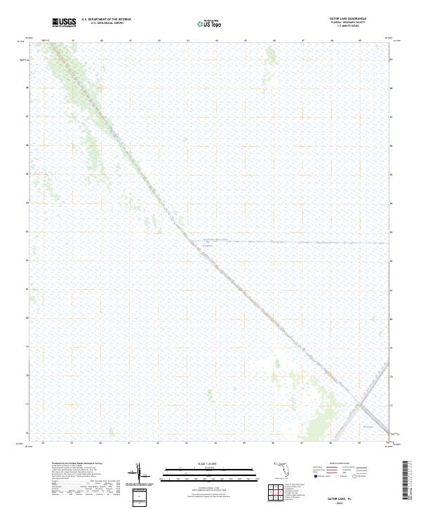
2024 Map of Gator Lake
USGS Topo · Published 2024About this map
The Everglades dominates this 2024 landscape in Broward County, revealing the complex water management system essential to South Florida. Two primary arteries, the Miami Canal and the South New River Canal, cut diagonally across the terrain, serving as critical infrastructure for drainage and navigation. The map illustrates the rigid Public Land Survey System grid overlaying the vast wetlands, where township and range boundaries like t50s r38e and t51s r38e partition the wilderness. In the southeastern corner, a distinct topographical feature known as The Pocket provides a rare point of interest in an otherwise remarkably flat and wet environment. This survey captures a moment in the modern era where engineering and conservation intersect in one of the most environmentally sensitive regions of the United States.
Find a feature on this map
6 named features on this map. Tap any name to fly to it.
Don’t see what you’re looking for? This feature index may not catch every label — zoom into the map to look around manually.
Map Details
Editions of this 2024 Gator Lake Map
This is the sole edition of this map. No revisions or reprints were ever made.
Other maps of this area

1956 · Miami
USGS Topo · 1:250,000

1956 · West Palm Beach
USGS Topo · 1:250,000

1957 · West Palm Beach
USGS Topo · 1:250,000

1958 · West Palm Beach
USGS Topo · 1:250,000

1958 · Miami
USGS Topo · 1:250,000

1963 · Andytown
USGS Topo · 1:24,000

1963 · Pennsuco
USGS Topo · 1:24,000

1963 · Cooper City SW
USGS Topo · 1:24,000

1973 · Custard Apple Hammock
USGS Topo · 1:24,000

1973 · West Of Pennsuco
USGS Topo · 1:24,000