Loading...
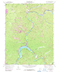
Loading map...1969 Map of Gauley Bridge
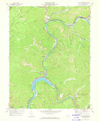
USGS Topo · Published 1989About this map
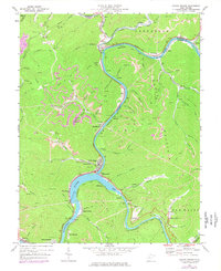
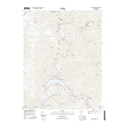
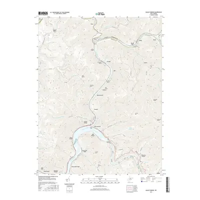
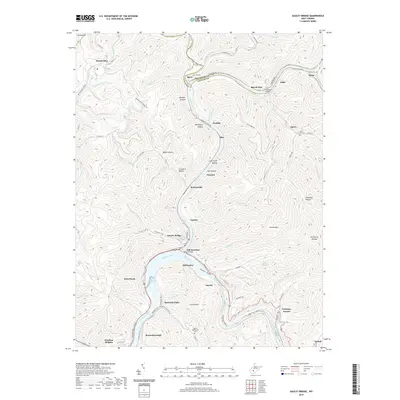
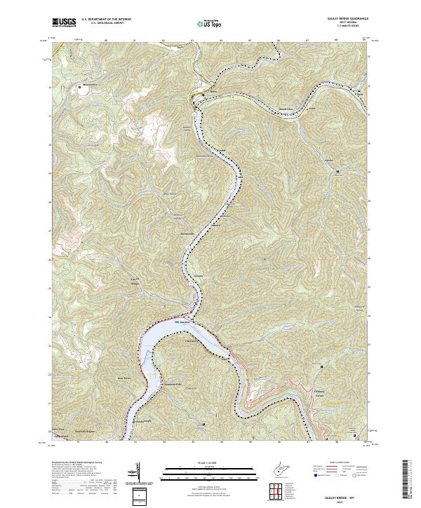
The confluence of the New River and Gauley River defines this river-and-rail landscape, where the waters merge to form the Kanawha River at the town of Gauley Bridge. This topographical study reveals a mid-century West Virginia industrial corridor, heavily influenced by the presence of the Chesapeake and Ohio and Conrail railroads. The topography is dotted with extraction-era markers including several strip mines and industrial landmarks like the Powerplant and Filtration Plant near Glen Ferris.
Find a feature on this map
92 named features on this map. Tap any name to fly to it.
Don’t see what you’re looking for? This feature index may not catch every label — zoom into the map to look around manually.
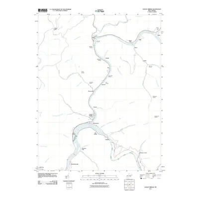
Map Details
Date Portrayed1969
Date Published1989
PublisherU.S. Geological Survey
Map TypeTopographic
Scale1:24,000
Physical Dimensions22 x 26.9 inches
Editions of this 1969 Gauley Bridge Map
3 editions found
Historical Maps of Ansted Through Time
6 maps found
Featured Locations
Source Details
SourceU.S. Geological Survey
CopyrightPublic Domain