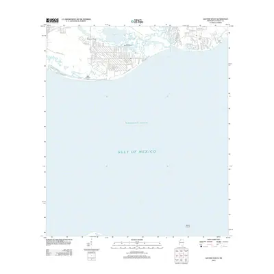
2012 Map of Gautier South
USGS Topo · Published 2012About this map
Belle Fontaine Point anchors the coastal reach of this Jackson County coastline, where the suburban streets of Gautier meet the marshy inlets of Graveline Bay. The landscape is defined by the transition from residential developments like those flanking Saint Andrews Golf Course to the intricate network of the Graveline Bayou. This area serves as a primary recreational gateway to the Mississippi Sound, with the Graveline Bayou Boat Ramp providing essential access for local boaters.
Find a feature on this map
89 named features on this map. Tap any name to fly to it.
Don’t see what you’re looking for? This feature index may not catch every label — zoom into the map to look around manually.
Map Details
Editions of this 2012 Gautier South Map
This is the sole edition of this map. No revisions or reprints were ever made.
Other maps of this area

1941 · Horn Island
USGS Topo · 1:62,500

1942 · Horn Island
USGS Topo · 1:62,500

1943 · Pascagoula
USGS Topo · 1:62,500

1950 · Dog Keys Pass
USGS Topo · 1:24,000

1953 · Mobile
USGS Topo · 1:250,000

1954 · Ocean Springs
USGS Topo · 1:24,000

1954 · Deer Island
USGS Topo · 1:24,000

1954 · Biloxi
USGS Topo · 1:62,500

1955 · Pascagoula
USGS Topo · 1:62,500

1957 · Mobile
USGS Topo · 1:250,000