
2011 Map of Gay OE E
USGS Topo · Published 2011About this map
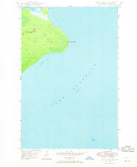
Lake Superior dominates this nautical and coastal landscape in Michigan's Keweenaw Peninsula, captured in a 2011 survey by the U.S. Geological Survey. This specific quadrangle provides a specialized look at the open waters off the northern coast of Sherman Township, where the vast expanse of the Great Lakes meets the rugged Upper Peninsula. The map focuses almost entirely on the hydrography of the region, emphasizing the navigational context of this remote stretch of water rather than terrestrial settlements or infrastructure. It serves as a precise digital-era record of the shoreline and water boundaries as they existed during the early 21st century, prior to more recent shifts in lake levels and coastal mapping standards.
Find a feature on this map
1 named feature on this map. Tap any name to fly to it.
Don’t see what you’re looking for? This feature index may not catch every label — zoom into the map to look around manually.
Map Details
Editions of this 2011 Gay OE E Map
This is the sole edition of this map. No revisions or reprints were ever made.
Other maps of this area
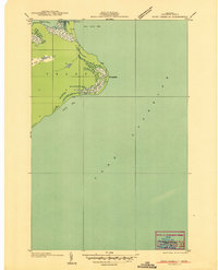
1927 · Point Isabelle
USGS Topo · 1:31,680
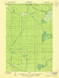
1938 · Bruneau Creek
USGS Topo · 1:31,680
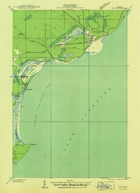
1938 · Gay
USGS Topo · 1:31,680
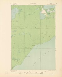
1939 · Deer Lake
USGS Topo · 1:31,680
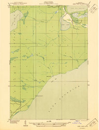
1940 · Deer Lake
USGS Topo · 1:31,680
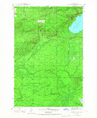
1946 · Bruneau Creek
USGS Topo · 1:24,000
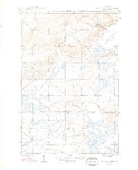
1948 · Bruneau Creek
USGS Topo · 1:24,000
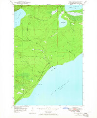
1948 · Deer Lake
USGS Topo · 1:24,000
1948 · Point Isabelle
USGS Topo · 1:24,000
1949 · Deer Lake
USGS Topo · 1:24,000