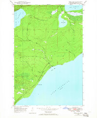
1948 Map of Deer Lake
USGS Topo · Published 1965About this map
Lake Superior dominates the southeastern shoreline of this Keweenaw Peninsula terrain, where the Big Betsy River and Winters Creek drain into Betsy Bay. The 1948 field check captures a wilderness in transition, most notably evidenced by a coastal road marked as Under Construction winding toward Black Rock Point. Near the river mouth, the Betsy River School stands as a lonely marker of local settlement. Further inland, the map details a landscape of interconnected water bodies, including Deer Lake, Lake Gratiot, and a portion of Lac La Belle to the north. Much of the interior is defined by the Little Gratiot River as it meanders through the township of Grant, providing a look at the drainage patterns and topography of this remote section of Michigan's Copper Country before modern development altered the woodland character.
Find a feature on this map
15 named features on this map. Tap any name to fly to it.
Don’t see what you’re looking for? This feature index may not catch every label — zoom into the map to look around manually.
Map Details
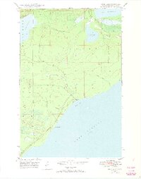
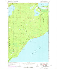
Editions of this 1948 Deer Lake Map
3 editions found
Other maps of this area

1927 · Point Isabelle
USGS Topo · 1:31,680

1938 · Bruneau Creek
USGS Topo · 1:31,680

1938 · Gay
USGS Topo · 1:31,680

1938 · Delaware
USGS Topo · 1:31,680

1939 · Deer Lake
USGS Topo · 1:31,680

1939 · Delaware
USGS Topo · 1:31,680

1940 · Deer Lake
USGS Topo · 1:31,680

1940 · Central
USGS Topo · 1:31,680

1940 · Lake Medora
USGS Topo · 1:31,680

1946 · Bruneau Creek
USGS Topo · 1:24,000