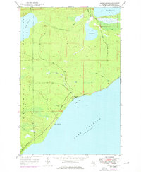
1948 Map of Deer Lake
USGS Topo · Published 1976About this map
Lake Superior dominates the southeastern corner of this Keweenaw Peninsula survey, where the shoreline meets the wooded interior at Betsy Bay. The landscape is defined by its complex drainage systems, characterized by the meandering courses of the Big Betsy River and Little Betsy River. In the northern sections, significant inland water bodies like Lake Gratiot and the western edge of Lac La Belle are connected by the Little Gratiot River. Human activity in this mid-century period appears sparse and concentrated near the coast, notably at the Betsy River Sch situated near the mouth of the river. The terrain transitions from the low-lying marshes surrounding Deer Lake to the prominent coastal landmark at Black Rock Point. This survey captures the isolated character of the copper country's wilderness before later development, showing the original network of unimproved trails and small creeks like Sucker Cr and Winters Cr.
Find a feature on this map
15 named features on this map. Tap any name to fly to it.
Don’t see what you’re looking for? This feature index may not catch every label — zoom into the map to look around manually.
Map Details
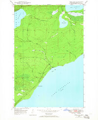
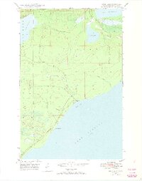
Editions of this 1948 Deer Lake Map
3 editions found
Other maps of this area

1927 · Point Isabelle
USGS Topo · 1:31,680

1938 · Bruneau Creek
USGS Topo · 1:31,680

1938 · Gay
USGS Topo · 1:31,680

1938 · Delaware
USGS Topo · 1:31,680

1939 · Deer Lake
USGS Topo · 1:31,680

1939 · Delaware
USGS Topo · 1:31,680

1940 · Deer Lake
USGS Topo · 1:31,680

1940 · Central
USGS Topo · 1:31,680

1940 · Lake Medora
USGS Topo · 1:31,680

1946 · Bruneau Creek
USGS Topo · 1:24,000