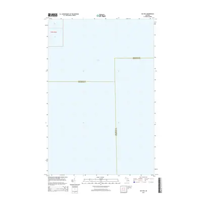
2014 Map of Gay OE E
USGS Topo · Published 2014About this map
Lake Superior dominates this nautical-heavy quadrangle, showing the convergence of three distinct Michigan counties far offshore. The 2014 survey captures the maritime boundaries where Keweenaw, Houghton, and Marquette counties meet beneath the surface of the world's largest freshwater lake. This digital-age mapping emphasizes jurisdictional lines over the open water of the Keweenaw Peninsula's coastal reaches. In the northwestern corner, the grid identifies legal subdivisions within Township 56 North, Range 30 West, including sections 16 and 21, which represent some of the only terrestrial references in an otherwise aquatic study.
Find a feature on this map
7 named features on this map. Tap any name to fly to it.
Don’t see what you’re looking for? This feature index may not catch every label — zoom into the map to look around manually.
Map Details
Editions of this 2014 Gay OE E Map
This is the sole edition of this map. No revisions or reprints were ever made.
Other maps of this area
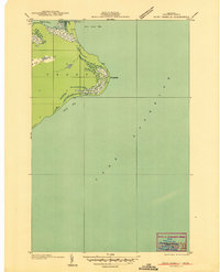
1927 · Point Isabelle
USGS Topo · 1:31,680
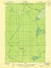
1938 · Bruneau Creek
USGS Topo · 1:31,680
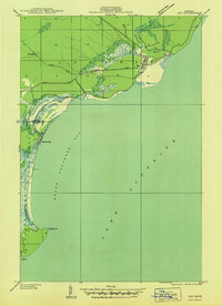
1938 · Gay
USGS Topo · 1:31,680
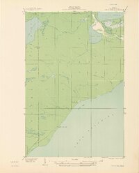
1939 · Deer Lake
USGS Topo · 1:31,680
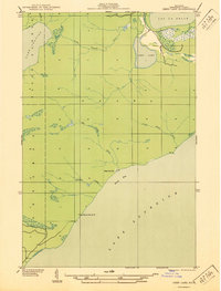
1940 · Deer Lake
USGS Topo · 1:31,680
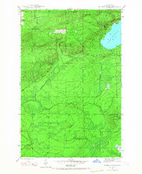
1946 · Bruneau Creek
USGS Topo · 1:24,000
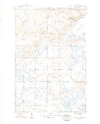
1948 · Bruneau Creek
USGS Topo · 1:24,000
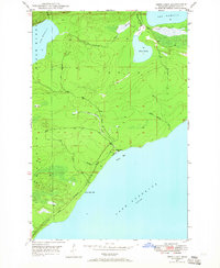
1948 · Deer Lake
USGS Topo · 1:24,000
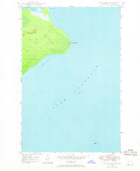
1948 · Point Isabelle
USGS Topo · 1:24,000
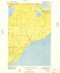
1949 · Deer Lake
USGS Topo · 1:24,000