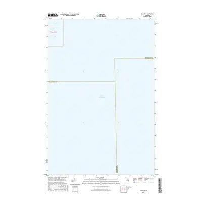
2017 Map of Gay OE E
USGS Topo · Published 2017About this map
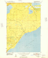
Lake Superior dominates this nautical and terrestrial boundary survey, where the waters of the world's largest freshwater lake meet the complex jurisdictional intersections of Michigan's Upper Peninsula. This 2017 edition illustrates the precise point where three distinct counties converge offshore. The convergence of the Keweenaw Co Marquette Co and Houghton Co Marquette Co lines provides an essential reference for maritime and land-based mapping in this northern territory. Beyond the open water, the map identifies specific townships such as t56n r30w, offering a clear view of the public land survey system as it extends toward the shoreline.
Find a feature on this map
6 named features on this map. Tap any name to fly to it.
Don’t see what you’re looking for? This feature index may not catch every label — zoom into the map to look around manually.
Map Details
Editions of this 2017 Gay OE E Map
This is the sole edition of this map. No revisions or reprints were ever made.
Other maps of this area

1927 · Point Isabelle
USGS Topo · 1:31,680

1938 · Bruneau Creek
USGS Topo · 1:31,680

1938 · Gay
USGS Topo · 1:31,680

1939 · Deer Lake
USGS Topo · 1:31,680

1940 · Deer Lake
USGS Topo · 1:31,680

1946 · Bruneau Creek
USGS Topo · 1:24,000
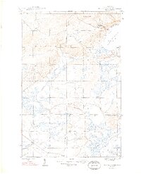
1948 · Bruneau Creek
USGS Topo · 1:24,000
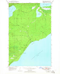
1948 · Deer Lake
USGS Topo · 1:24,000
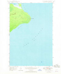
1948 · Point Isabelle
USGS Topo · 1:24,000
1949 · Deer Lake
USGS Topo · 1:24,000