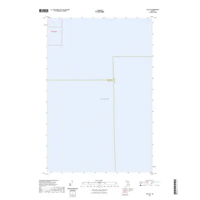
2023 Map of Gay OE E
USGS Topo · Published 2023About this map
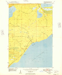
Lake Superior dominates this nautical-focused survey, where the open waters of the largest Great Lake meet the administrative boundaries of Michigan's Upper Peninsula. This specific sheet captures a significant tri-county intersection over the water, where the borders of Keweenaw Co., Houghton Co., and Marquette Co. converge. While the terrestrial features are minimal, the map provides a precise legal and geographic record of these maritime boundaries within the Public Land Survey System, specifically detailing portions of t56n r30w and sections 16 and 21. It serves as a stark illustration of how political jurisdictions are projected across the vast expanses of the Great Lakes.
Find a feature on this map
6 named features on this map. Tap any name to fly to it.
Don’t see what you’re looking for? This feature index may not catch every label — zoom into the map to look around manually.
Map Details
Editions of this 2023 Gay OE E Map
This is the sole edition of this map. No revisions or reprints were ever made.
Other maps of this area

1927 · Point Isabelle
USGS Topo · 1:31,680

1938 · Bruneau Creek
USGS Topo · 1:31,680

1938 · Gay
USGS Topo · 1:31,680

1939 · Deer Lake
USGS Topo · 1:31,680

1940 · Deer Lake
USGS Topo · 1:31,680

1946 · Bruneau Creek
USGS Topo · 1:24,000
1948 · Bruneau Creek
USGS Topo · 1:24,000
1948 · Deer Lake
USGS Topo · 1:24,000
1948 · Point Isabelle
USGS Topo · 1:24,000
1949 · Deer Lake
USGS Topo · 1:24,000