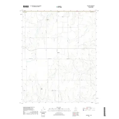
2019 Map of Gaylord
USGS Topo · Published 2019About this map
Gaylord stands as the primary settlement in this northern Texas panhandle landscape, situated along a section of the Old Darrouzett Hwy. The terrain is defined by an intricate network of drainages that feed into Kiowa Cr, including N Fork Kiowa Cr, Plummer Cr, and Coyote Cr. These waterways cut through the high plains, creating distinct relief such as Bean Pott Cliff in the northern portion of the quadrangle.
Find a feature on this map
26 named features on this map. Tap any name to fly to it.
Don’t see what you’re looking for? This feature index may not catch every label — zoom into the map to look around manually.
Map Details
Editions of this 2019 Gaylord Map
This is the sole edition of this map. No revisions or reprints were ever made.
Other maps of this area
1954 · Perryton
USGS Topo · 1:250,000
1958 · Perryton
USGS Topo · 1:250,000
1971 · Clear Lake SW
USGS Topo · 1:24,000
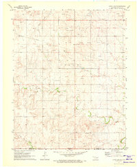
1971 · Clear Lake SE
USGS Topo · 1:24,000
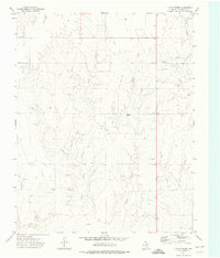
1972 · Dugout Creek
USGS Topo · 1:24,000
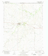
1972 · Darrouzett
USGS Topo · 1:24,000
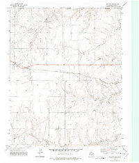
1972 · Gaylord
USGS Topo · 1:24,000
1972 · Twin Grove
USGS Topo · 1:24,000
1972 · Booker SE
USGS Topo · 1:24,000
1973 · Booker
USGS Topo · 1:24,000