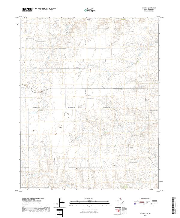
2022 Map of Gaylord
USGS Topo · Published 2022About this map
The community of Gaylord serves as a central point in this northern Panhandle landscape, where the High Plains are deeply incised by the drainage systems of Kiowa Cr and its tributaries. The terrain transitions from flat, cultivated tablelands to more complex breaks near Bean Pott Cliff, a prominent escarpment overlooking the N Fork Kiowa Cr. This geography dictates the local road network, where modern routes like View Point Rd intersect with the historic Old Darrouzett Hwy.
Find a feature on this map
28 named features on this map. Tap any name to fly to it.
Don’t see what you’re looking for? This feature index may not catch every label — zoom into the map to look around manually.
Map Details
Editions of this 2022 Gaylord Map
This is the sole edition of this map. No revisions or reprints were ever made.
Other maps of this area

1954 · Perryton
USGS Topo · 1:250,000

1958 · Perryton
USGS Topo · 1:250,000

1971 · Clear Lake SW
USGS Topo · 1:24,000

1971 · Clear Lake SE
USGS Topo · 1:24,000

1972 · Dugout Creek
USGS Topo · 1:24,000

1972 · Darrouzett
USGS Topo · 1:24,000

1972 · Gaylord
USGS Topo · 1:24,000

1972 · Twin Grove
USGS Topo · 1:24,000

1972 · Booker SE
USGS Topo · 1:24,000

1973 · Booker
USGS Topo · 1:24,000