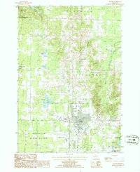
1986 Map of Gaylord
USGS Topo · Published 1986About this map
Gaylord serves as the central hub of this northern Michigan landscape, characterized by a transition from organized municipal infrastructure to the protected woodlands of the Mackinaw State Forest. The town’s growth is evident through the presence of the Otsego County Airport and a prominent Radio Tower, while historical transportation patterns are preserved in the Old Railroad Grade cutting through the western terrain.
Find a feature on this map
31 named features on this map. Tap any name to fly to it.
Don’t see what you’re looking for? This feature index may not catch every label — zoom into the map to look around manually.
Map Details
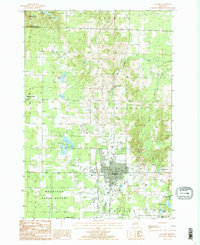
Editions of this 1986 Gaylord Map
2 editions found
Other maps of this area

1949 · Otsego Lake
USGS Topo · 1:62,500

1950 · Turtle Lake
USGS Topo · 1:24,000

1951 · Turtle Lake
USGS Topo · 1:24,000

1951 · Otsego Lake
USGS Topo · 1:24,000

1954 · Gaylord
USGS Topo · 1:62,500

1954 · Traverse City
USGS Topo · 1:250,000

1955 · Cheboygan
USGS Topo · 1:250,000

1956 · Alba
USGS Topo · 1:62,500

1958 · Cheboygan
USGS Topo · 1:250,000

1958 · Traverse City
USGS Topo · 1:250,000