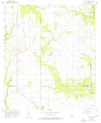
1956 Map of Gaytine
USGS Topo · Published 1976About this map
Gaytine and Turps are situated at the intersection of a complex hydrological landscape where the Southern Pacific railroad cuts through the lowlands of Southwest Louisiana. This mid-century survey reveals a territory defined by intricate drainage patterns, including the meandering Marsh Bayou and Indian Bayou. The convergence of multiple parish lines, including those of Beauregard, Allen, Calcasieu, and Jefferson Davis, highlights the area's significance as a border region. Near the southern edge, the settlement of Gillis serves as a small anchor along the rail line, while features like the Habeth Landing Strip and a Radio Tower reflect mid-century infrastructure developments. The landscape is a mosaic of wooded areas and waterways such as Boggy Creek and Hickory Branch, interspersed with a man-made Canal that suggests early water management or industrial attempts to navigate the surrounding marshland.
Find a feature on this map
16 named features on this map. Tap any name to fly to it.
Don’t see what you’re looking for? This feature index may not catch every label — zoom into the map to look around manually.
Map Details
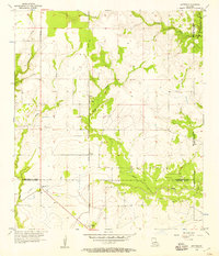
Editions of this 1956 Gaytine Map
2 editions found
Other maps of this area

1935 · Buhler
USGS Topo · 1:31,680

1935 · Moss Bluff
USGS Topo · 1:31,680

1935 · Gordon
USGS Topo · 1:31,680

1935 · Gaytine
USGS Topo · 1:31,680

1935 · Longville
USGS Topo · 1:31,680

1947 · Gaytine
USGS Topo · 1:31,680

1947 · Moss Bluff
USGS Topo · 1:31,680

1947 · Hecker
USGS Topo · 1:31,680

1947 · Kernan
USGS Topo · 1:31,680

1947 · Reeves
USGS Topo · 1:31,680